The main advantage of the old style was to differentiate the area around the church - open, publicly accessible - from the areas to the top, left and bottom, which are just regular city blocks. If it’s not possible to do this in the new style, so be it
I like the solution with the grey highways. I think the new style is pretty monochrome, there’s probably space for some additional colors.
Since you’re tinkering, would it be possible to add the subway stations? The tracks themselves are already shown with great detail.
That’s hilarious (not your request!) … this service marks basically everything on earth as “forest” … I’ll post an example screen shot later/tomorrow - about to head out now.
I agree, but each time I reach for a color I think of how it’ll look with the LifeMap placed over it.
Possibly … I’ll take a look when I get back/tomorrow. I also know people were interested in bus stops, so I’m hoping they’re both available by adding a new custom layer to the map.
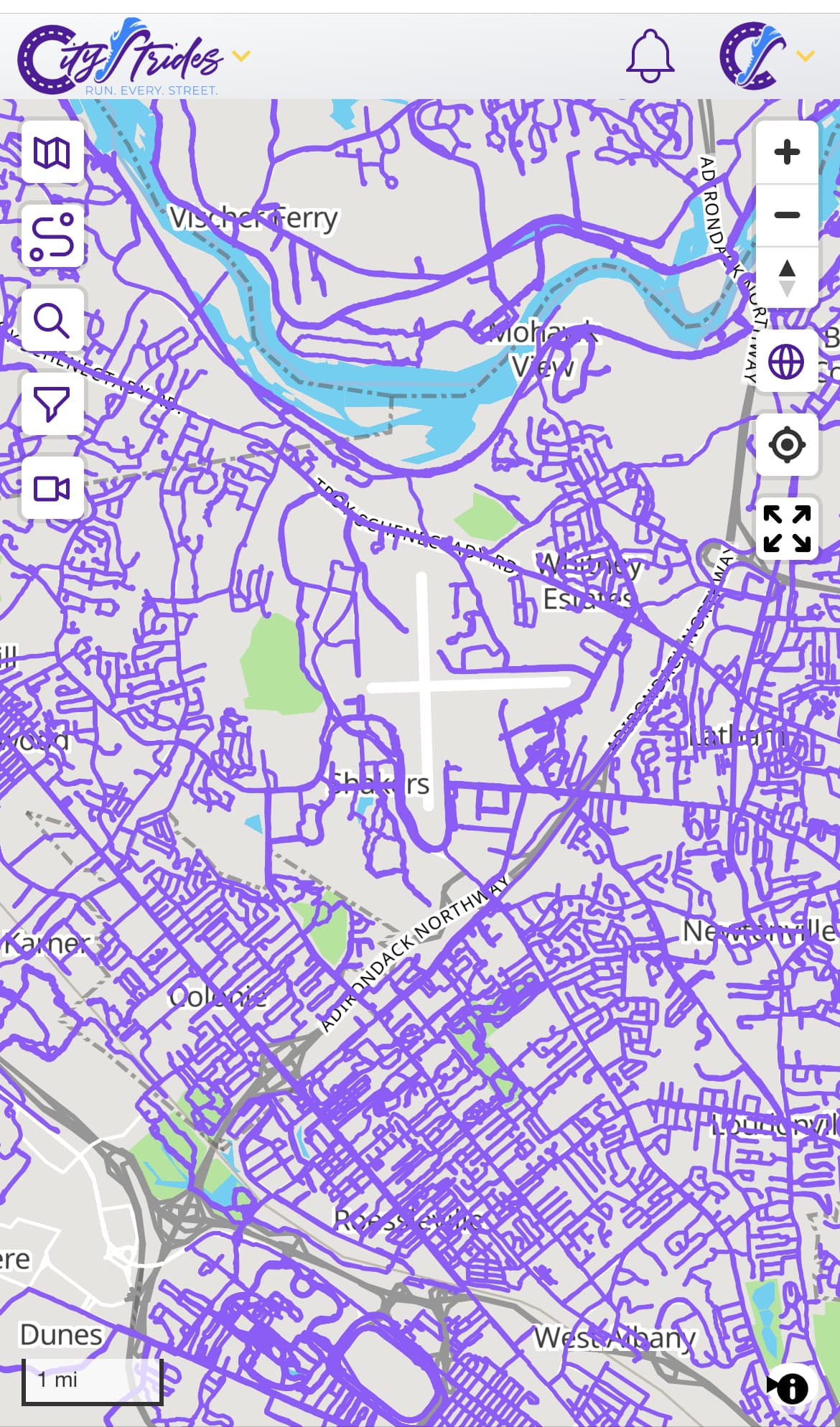
And can you display tracks (freight/train/subway) tracks more prominently so we know those can’t be crossed? Another thing that NYC surprisingly has in abundance and blocks running routes.
Thanks for your hard work James. I wasn’t a fan of the map update at first but it’s grown on me and the ongoing tweaks have made it even better. I really appreciate all the thoughtfulness you’ve put in to CityStrides and your willingness to incorporate user feedback. Keep up the good work!
Ohhhhh grey highway are fantastic!! Now I just need to send @zbrown4 a message about about the highways near me that are untenable but still white. (OSM edits)
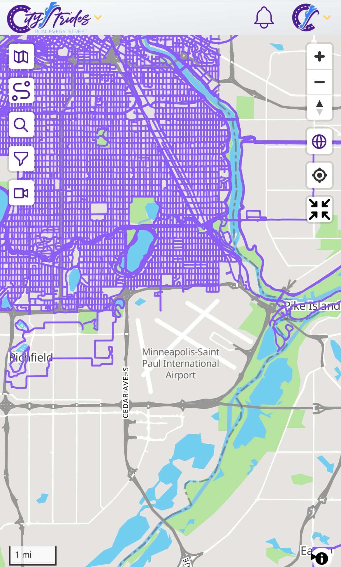
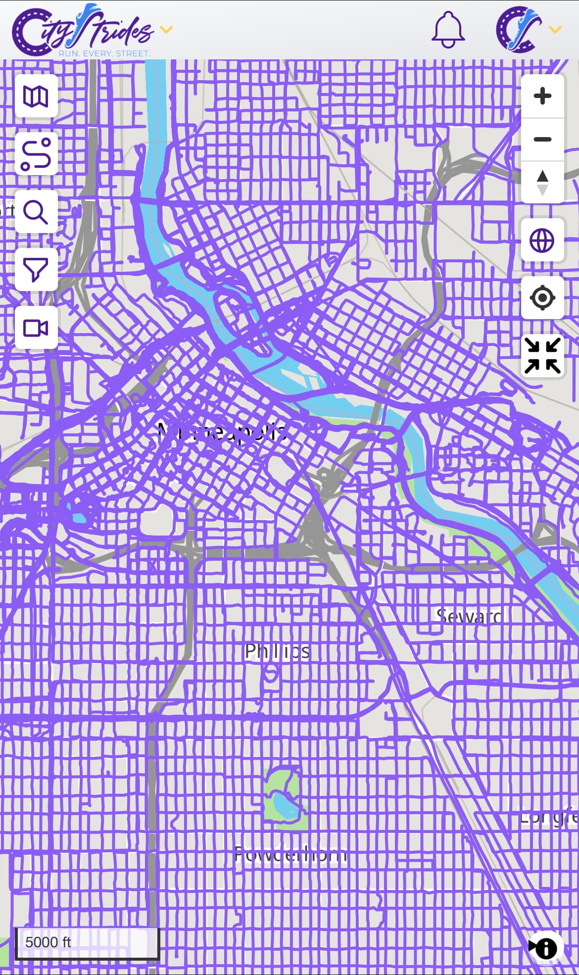
Purple looks grey looks great.
I would mind the airport or a cemetery even being grayed out. I am going to look at the other map website see what it uses.
The map keeps getting better and better. Thanks for adding satellite view back in. In the previous version, when you switched to satellite view you could see the name of parks, restaurants, businesses etc. That was really helpful for determining if it was a good place to leave the car and start a run (less worried about towing and break-ins). If that’s an option with the new satellite view, I’d love to see that toggled back on. I’m really preferring the regular map view to the previous though. Thanks for all the effort.
Would it be possible to also use a gray color for roads marked as highway=trunk (see OSM definition)? These used to be colored in an orange/red tint in the old map, and seem to be both by definition and for every example I have seen so far in Norway (where I run) large major roads (usually with multiple lanes) that usually forbid access for pedestrians.
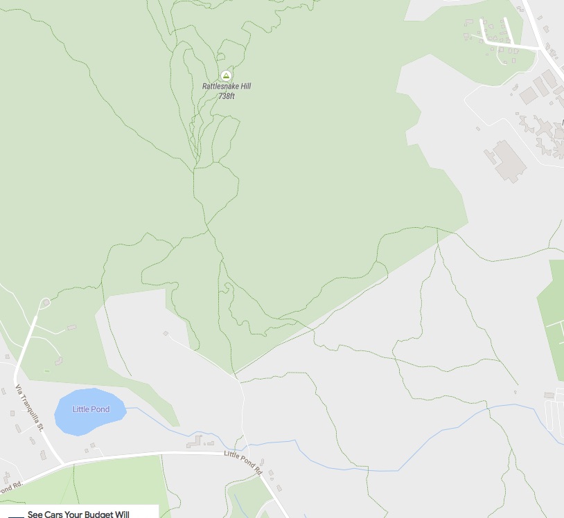
I saw a post about the footpaths/trails being in a very light white dotted line. This is giving me problems since I cannot see these lines on my phone when running and can only see them on my monitor if I am zoomed in really close. Attached is a screen shot from the current CS screen and the same shot from onthegomap.com that I use to route my runs. Would it be possible to use a lighter color other than white so that the trails can be seen?
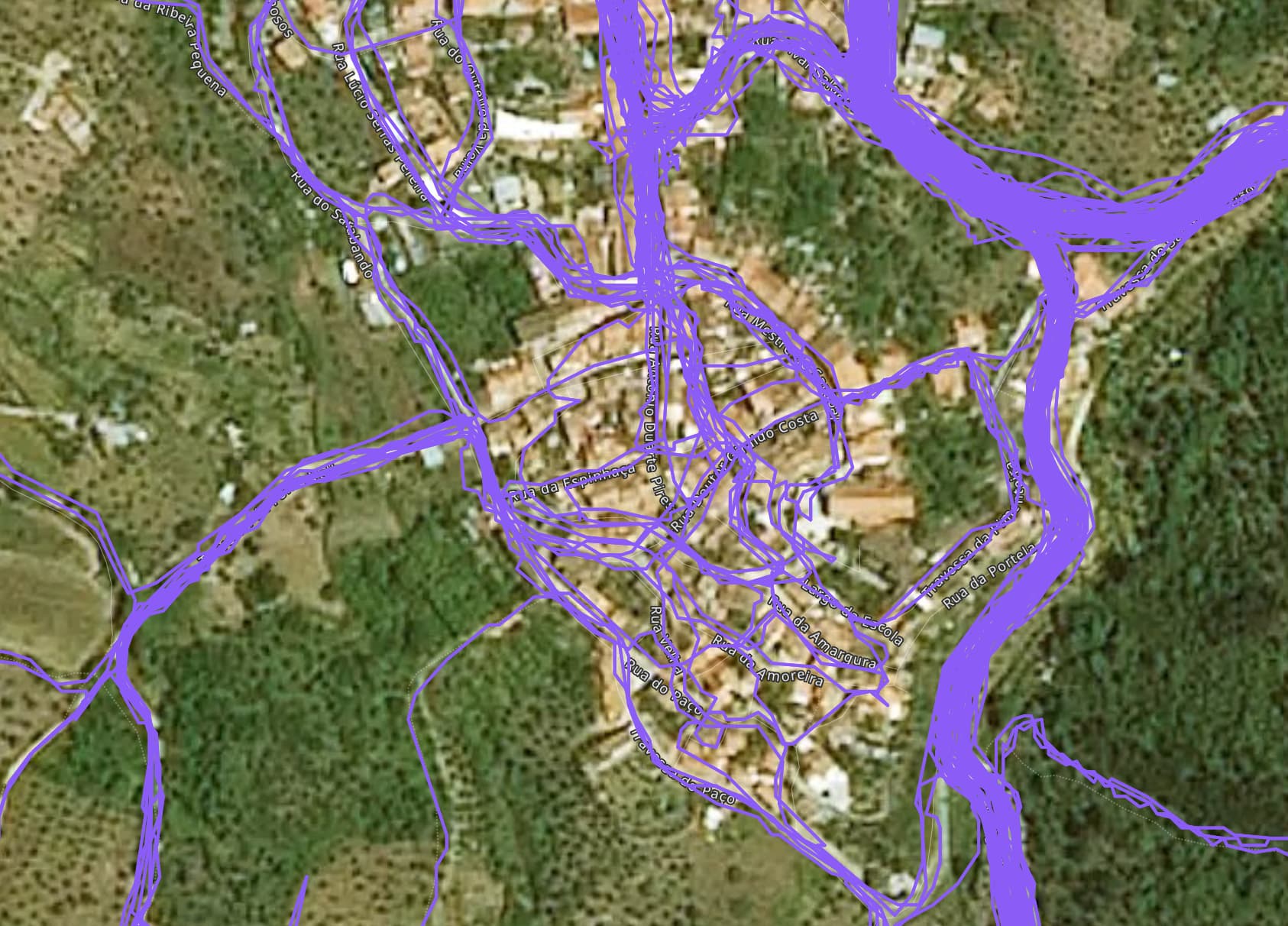
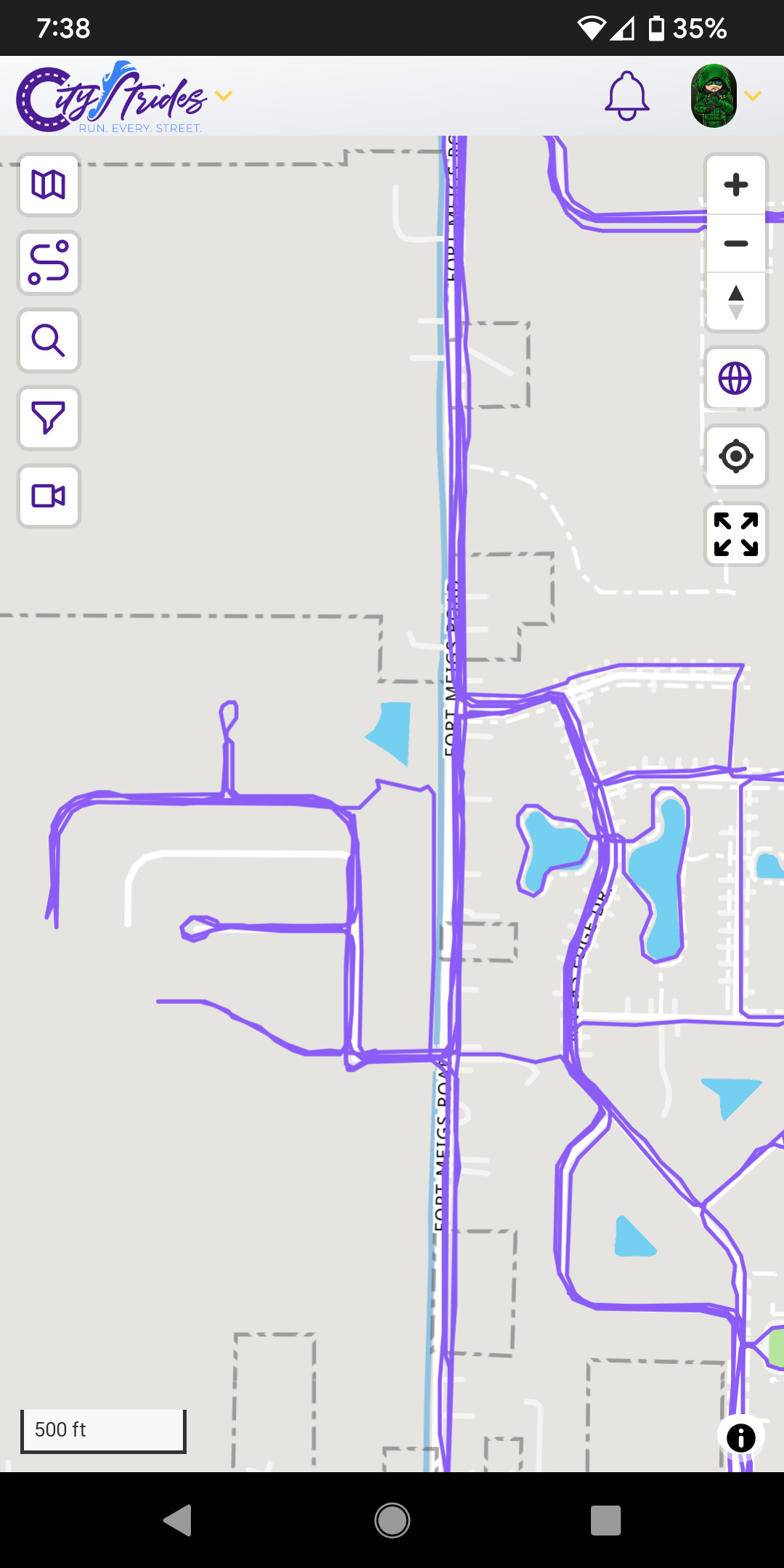
Just a little feedback on the new satellite view, sorry to be a downer but at least the maps available to me are extremely low resolution compared to what I had before. For example I’m trying to see if these roads have any wall between or if it’s just some plaza I can jump across, but these are the satellite images I have access to…not very helpful.
However when I look over in Boston the satellite imagery is great at 10x zoom of what I’ve shown above (30 ft vs 300 ft). I never had a problem with the resolution of the maps previously anywhere in Portugal or the US. So I suspect it will vary user to user based on their home turf…
Heya @JamesChevalier . Have been waiting, watching, and reading through new developments and like a few others, want to recognize the responsiveness and attention to detail you give this. Thanks man.
I went on a node hunter run today in an unfamiliar area and frankly, noticed very little if any difference from the old experience. I hope that’s a plus considering all the work put in!
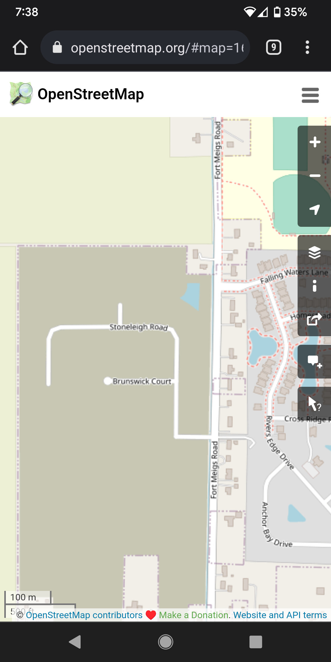
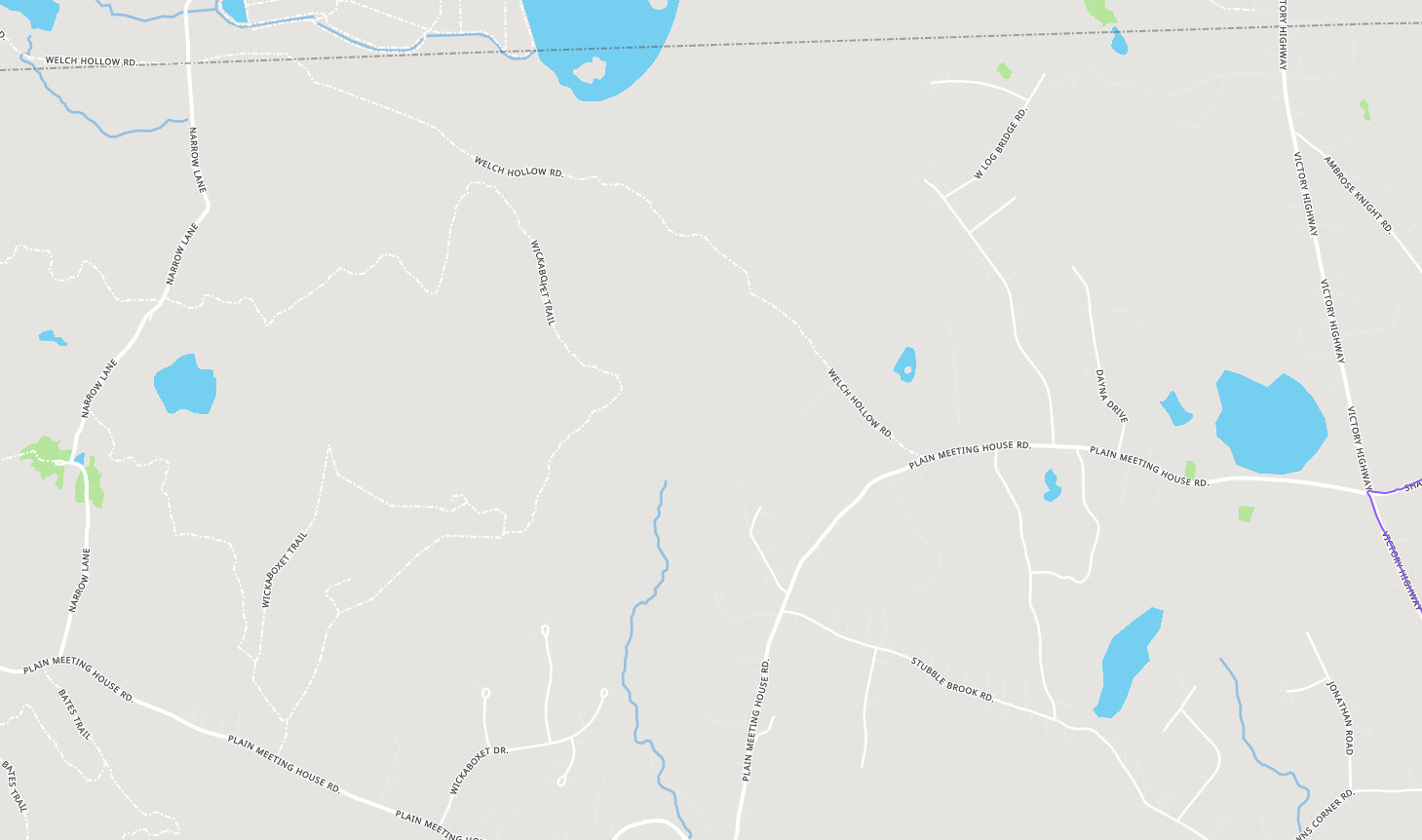
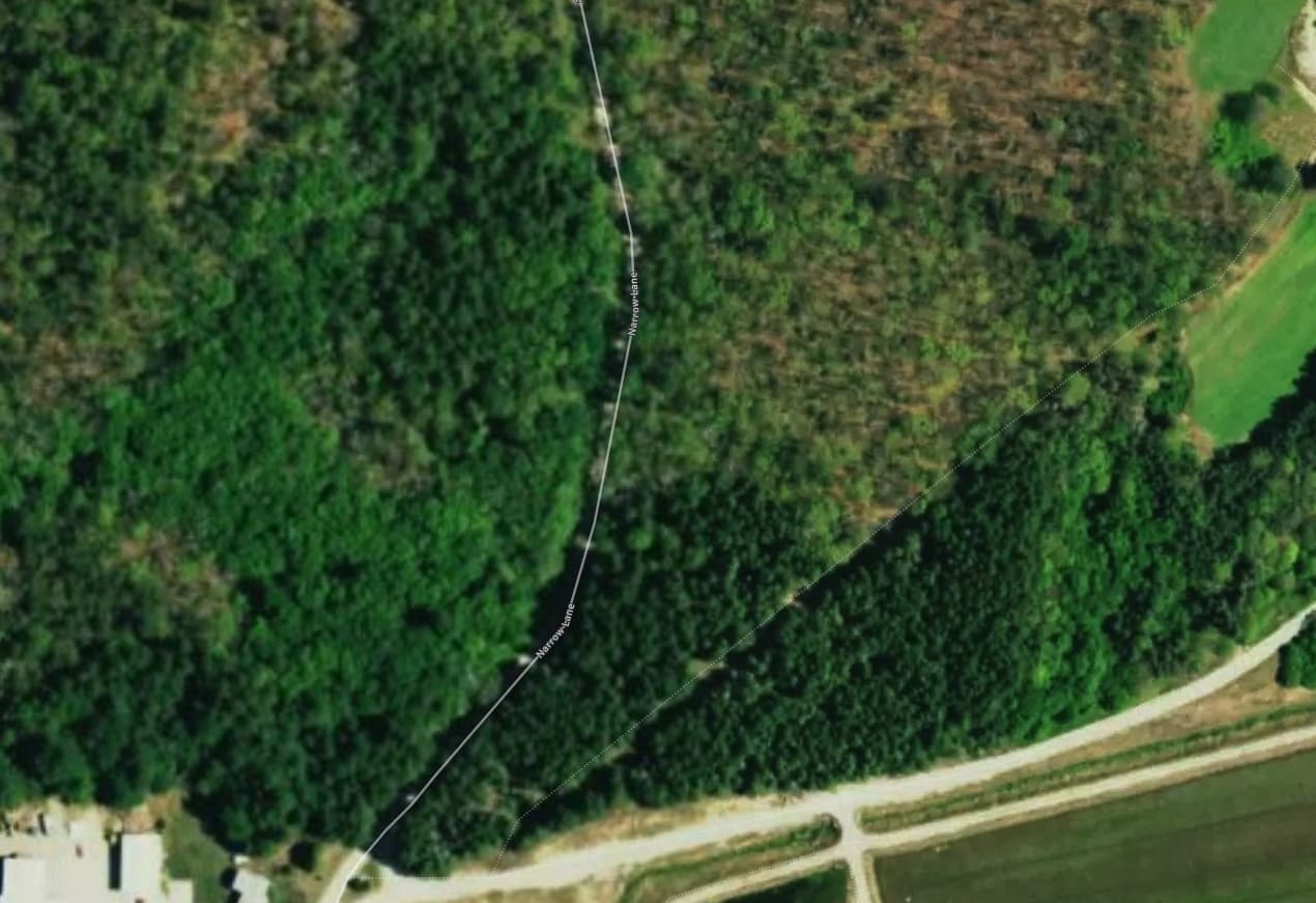
To add a bit to the other observations made by some big explorers here, some of the map changes do take some getting used to, but encountering the unexpected can be part of the fun of finding new places to run every day that I can. @kevincharlespels makes some of the same moves I do when using the satellite view as a planner, but in my area I honestly find google’s street view much more useful anyhow. An example: Here I’m scouting a way to loop back around from Plain Meeting House Road (south). Regular view gives me equal weight values for it and Narrow Lane (west). Satellite view tells me it might be dodgy. Street view tells me there’s no way that’s plowed.
I’m interested in chucking some clicks through route builder to see what that creates… I’m wondering if it’s good enough to save us the effort of looking into things in such a great detail (I’m guessing it’s not but it is useful to know how close it is).
I’ll concur on the low resolution of the satellite imagery. And the imagery of the east coast of the US may be higher than Portugal, but still very low.
Not necessarily expecting Google maps high resolution, but expecting to have clarity when zooming.
+1 on the importance of satellite view. I use it regularly to determine if there’s pedestrian access across parking lots, through dead ends, etc. It’s very helpful for planning routes that don’t require me to double back. Provides an important reality check on what the maps say.