Hi Jim,
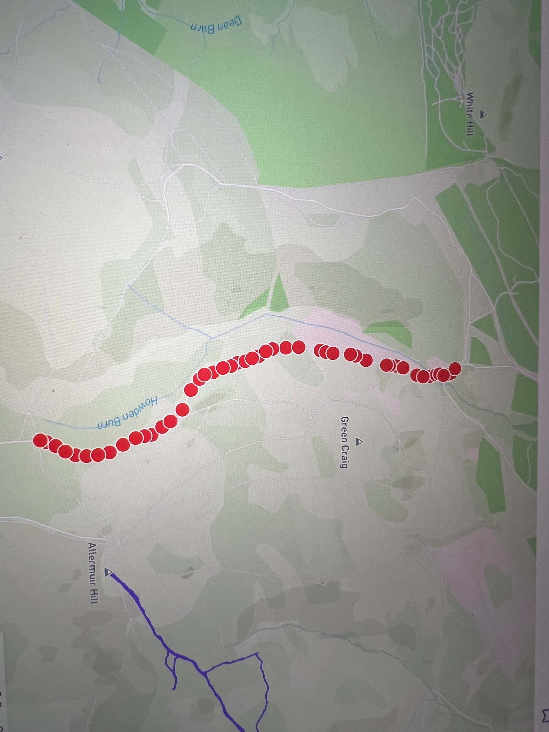
Thank you for the birthday present you gave me at the weekend of 33 new roads to walk following the map update in Edinburgh. I’m using them to motivate me to get back to walking as I recover from injury. All of them look achievable except for one which is a track called Dreghorn Drop in the Pentland Hills. I took a look at Open Street maps so that I could amend it to show it was a track and discovered that was already its description. Obviously I can manually complete it but I suspect it may have been picked up erroneously. Is there something else I should be doing in Open Street maps to fix it?
Thanks again for all your help
I’ve just looked this up on OpenStreetMap and spotted that this was actually edited from a track to a path by yourself back in October 2021 (see version #6) which looking on the forum it seems you did with some advice from people on here previously: Not roads but mountain bike tracks - #8 by 73d54dd445d16e2f363a .
It looks like this was reverted back to a track during a mass-edit by someone 10 months ago, seemingly for some changes relating to the Strava Heatmap? Reading the OSM wiki entry for highway=path I think your original edit was more appropriate than highway=track which suggests it’s for access roads meant for agriculture/farmland, so I think it’d be best to revert their change for this entry with perhaps a comment to justify how it fits that definition?
Thanks Tom. Much appreciated. I haven’t used OSM much recently so I will go back and take a look. I obviously knew more then than I do now  .
.
Catriona