CityStrides Profile Link
Message
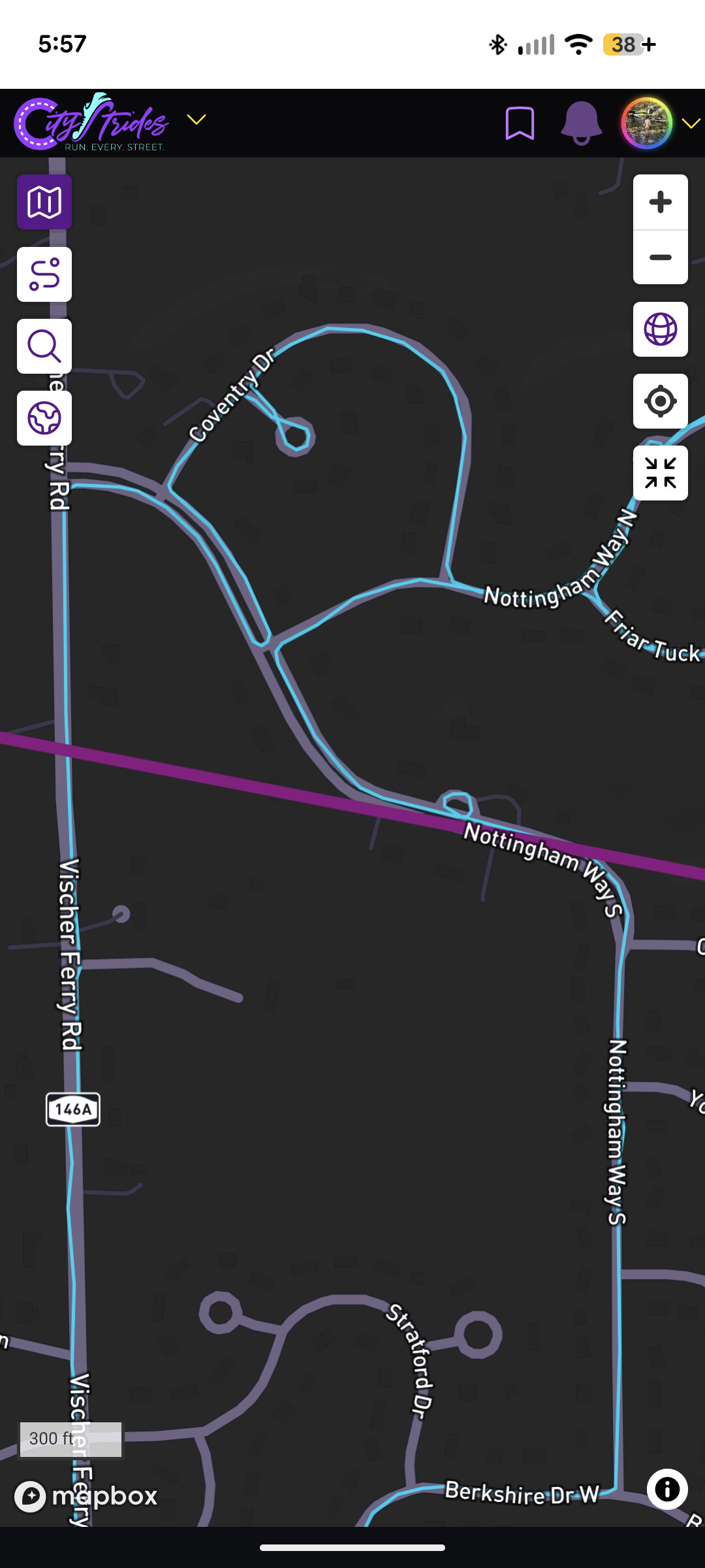
Hi all, I’m looking for some insights into the new territories function. I find it super cool and also super confusing! Specifically, I’m wondering how often they’re updated and how much overlap is required between activities for a connection to be made. The northern bound on my largest territory should be quite a bit further north from what I can tell, as the line is drawn across the middle of the road that I continued on within a single activity. It’s in the middle of a neighborhood I’ve run and walked in a couple times, and as far as I can tell, the activities overlap in a couple places. I’ve seen some gaps shared in other posts, but that doesn’t appear to be my issue. A little problem occurs at the southern bounds of my territory, but I think that may be a trail run issue, while the north is definitely on noded roads. Any information is greatly appreciated!