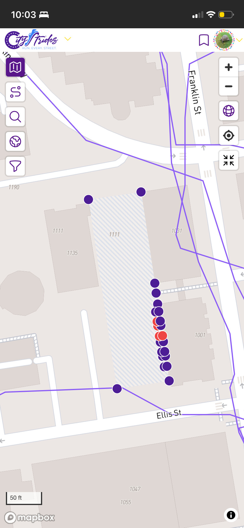
There is a “street” in San Francisco with 24 nodes in the middle of a block, but there is no way to access it by foot or car. St. Mark’s Square, San Francisco, CA. It is marked as a pedestrian area on OSM, but I am unsure what to change in OSM to remove the nodes, or change it from a “street” to a closed area. Any help is appreciated! Thanks.
I’m a bit hesitant here. That pedestrian area is tagged as “permissive”, which indicates to me that someone made a deliberate decision not to tag it private. @bayleynora , are you certain that there is no access? Can you give us a bit more detail? It does seem from StreetView that maybe it is part of some social services / community center, so perhaps private is indeed the most appropriate tagging?
It’s definitely not a street, but maybe more of a pedestrian plaza? The buildings around it seem to be housing and community services, and the plaza area is part of that complex. The whole area is blocked off by fencing currently but maybe at one point it was more open to the public?
It sounds like tagging it as private is probably the best solution.