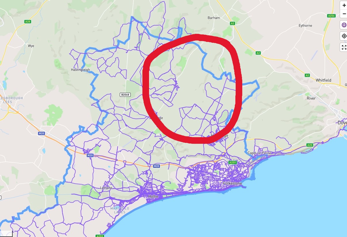
I’ve been dawdling around my local area for a couple of years now slowly knocking off those little red dots. When I first started I did concentrate on the nodes themselves and if that street didn’t have any then I’d leave it. Now I’m not saying it keeps me up at night worrying about it but I’m now looking at the roads in between that don’t have any nodes and realise its primarily because they are unnamed; these are generally nice, quiet country lanes which are lovely to stroll down and would be a shame to missed out.
I’ve picked up all the nodes in this area although I’ve manually completed the last of Elham Valley Road Elham Valley Road - CityStrides where I’d more than likely be bounced off into a hedge at 60mph by some rep in his BMW or squashed under a bus on this busy route.
In these areas there are very few street name signs but Google Maps does have one or two road names - firstly, am I okay to use that info to update OSM?
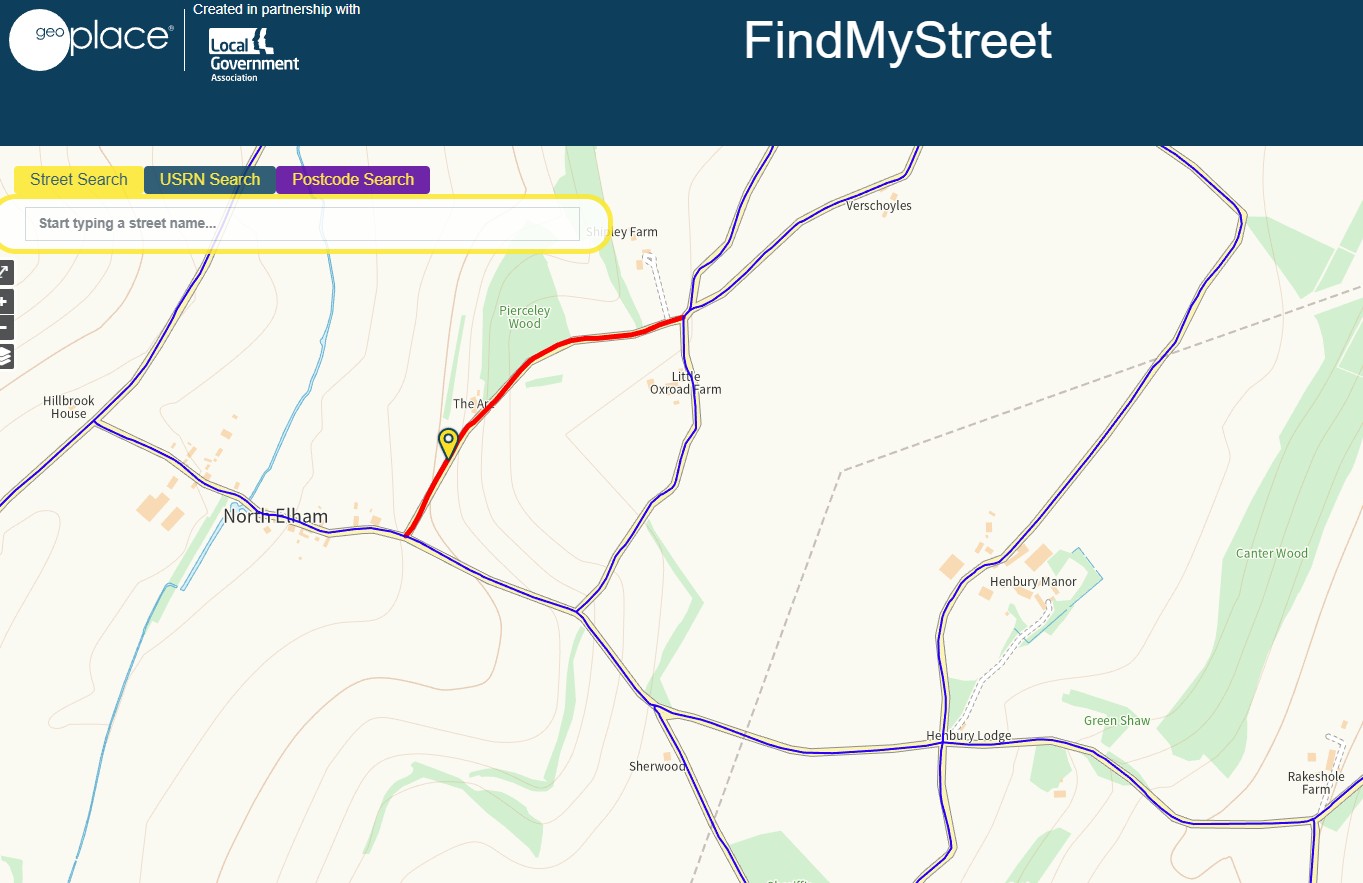
Secondly, I’ve also stumbled across https://www.findmystreet.co.uk which references back to the National Street Gazetteer for England and Wales and is funded by the Local Government - so it seems quite a definitive resource?
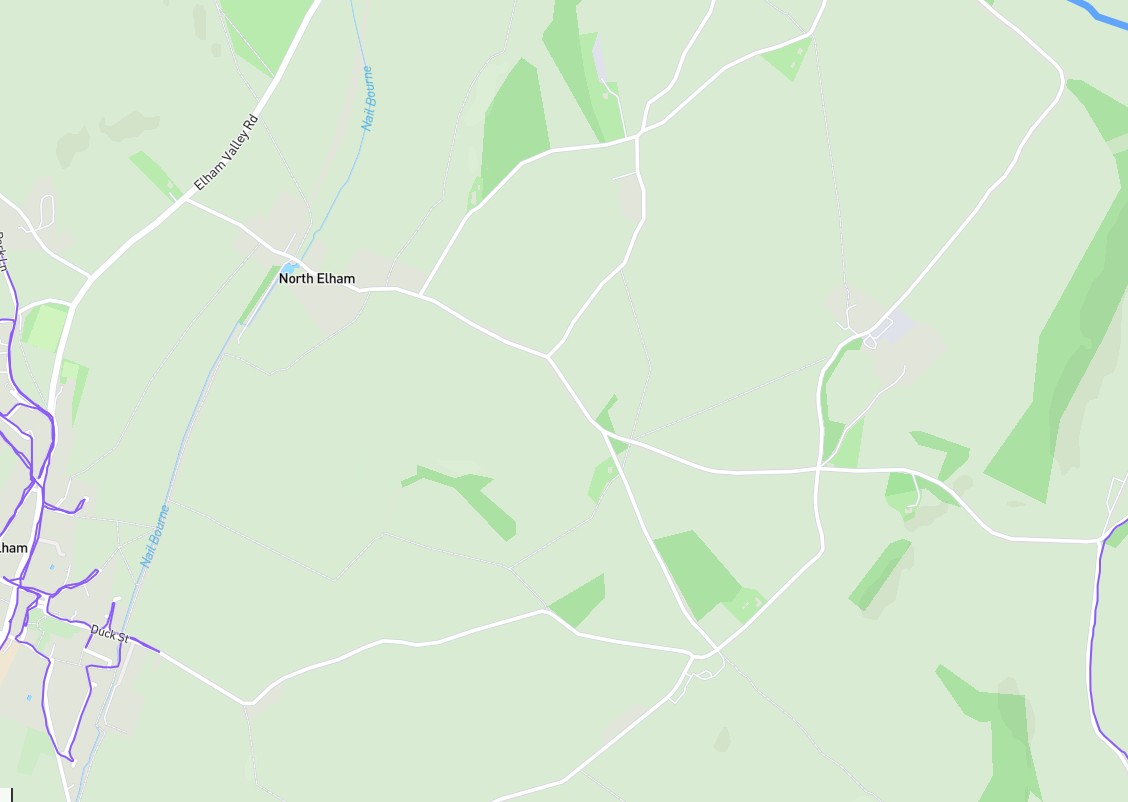
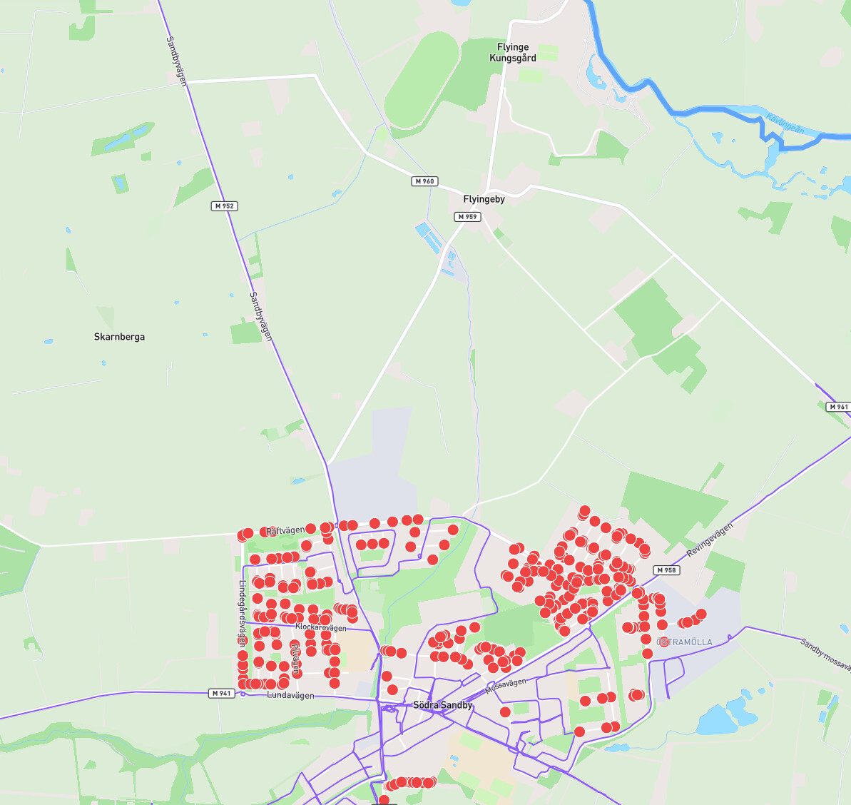
Anyway, looking on their map nearly every street in this area that is unnamed on Google Maps, OSM and therefore CS, does have a name:-
Reading through a few comments here and on the OSM forums I can’t determine whether using Find My Street is acceptable. Would I be okay to add a few names using FMS as source material?
I’ll be walking these anyway to fill in those little roads (that definitely don’t keep me awake ) and make my City a bit more complete but wondered what the consensus was on this approach.
I think FindMyStreet is the best resource for identifying missing UK road names to record on OpenStreetMap. I’ve used it regularly to improve OSM around my area.
You will still find cases where even FMS doesn’t have a recognised name for a road; the one next to your screenshot for example is recorded as “FROM NORTH ELHAM HILL TO BUNKERS HILL, NORTH OF ELHAM, ELHAM”.
I’ve also seen some that simply have a reference like “C123”, which I don’t think is suitable for the OSM “Name” field. In these cases I leave the field on OSM blank.
Your plan to visit these roads anyway matches what I do, as the map looks better with lots of purple lines!
Last night I spent an hour or so looking up several of the unnamed streets on FMS and submitted them to OSM. I generally ask for someone to review my revisions because I’m not massively confident with the editing process and received the above reply.
I have looked at the OS Open Names and Roads mentioned and have almost no clue what I‘m looking at.
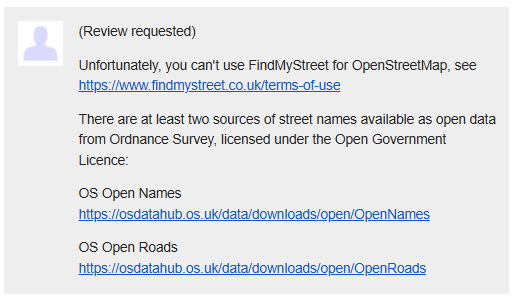
I’ve since replied to this message saying I don’t understand the TOS enough to see where the issue is and that the OS info is beyond my understanding, or interest for that matter. I suggested I should have left out any reference to FSM?
I dunno, thought I was being helpful.
I’ll let you know if I get another reply but at the moment I don’t feel like spending any more time on it.
I had a similar issue in Japan - most streets are unnamed in OSM, but do have official street names which are recorded on local city websites and appear throughout Google Maps.
An expert OSM user questioned my OSM updates, and told me to stop until I got permission from the city council to use the data in OSM. I got that permission, and I have since found out that street data is free to use by law in Japan, so I have been chipping away without concern since then.
The things we do for the CityStrides cause…
I found similar in the city I am running now. The roads are named with M123 but not referenceabe on google maps or OSM. I dug a bit and found them to be “service roads” in a city so I let them be because I could not specify a name for them. The roads look as good as any other, ever better looking than some. They have alleys of trees besides but “not identifiable”. My plan is I will purple them nevertheless. I love the purple
Hi Graham, apologies for giving you incorrect information and thanks for sharing what you’ve found. I’m unclear which FMS terms are being broken, but perhaps OSM is considered as a competing service..
I would assume the OS open source information has already been synced with OSM, and agree its not easy to find the street names we want in those OS data files.
As mentioned, I do visit everything that looks like a road in my area, so that my map looks complete. Generally the road names I’ve added to OSM have had street signs. I think its reasonable to use FMS (or Google Maps) as an additional source to confirm personal observations and update OSM, and will probably make sure to phrase my OSM updates more explicitly in future!
Hello Neal - I’m with you all the way on this one; I can’t see the issue referencing FMS alongside local knowledge/Google Maps etc. Surely the end goal is to provide the definitive map and not have incomplete versions scattered across several sites each grasping onto their own dataset? Dunno, I’m just a wandering street walker - hang on, not sure I mean to label myself as that! Was that one of the site names James rejected - Street Walker?
I’ve had no further response from the individual who commented on my OSM submission which somewhat puts me off contributing; I seem to get my wrists slapped when dealing with them and not receive any useful feedback.
Anyway, if it stops raining here for a minute I might just have a wander along some roads, named or unnamed!
The link worked fine and was a lovely straightforward answer - y’know they might be on to something with this AI shenanigans!
I would imagine there is more than just me on here and elsewhere that pull even a small amount of data from FMS or Google Maps and add it into OSM without fully understanding the TOS which seems to pretty much forbid that activity.
I thought adding a few street names was helping out and, although I don’t suppose the FMS Police are going to kick my door in tonight, I think I’ll just stick to adding any info I glean as I’m wandering about.