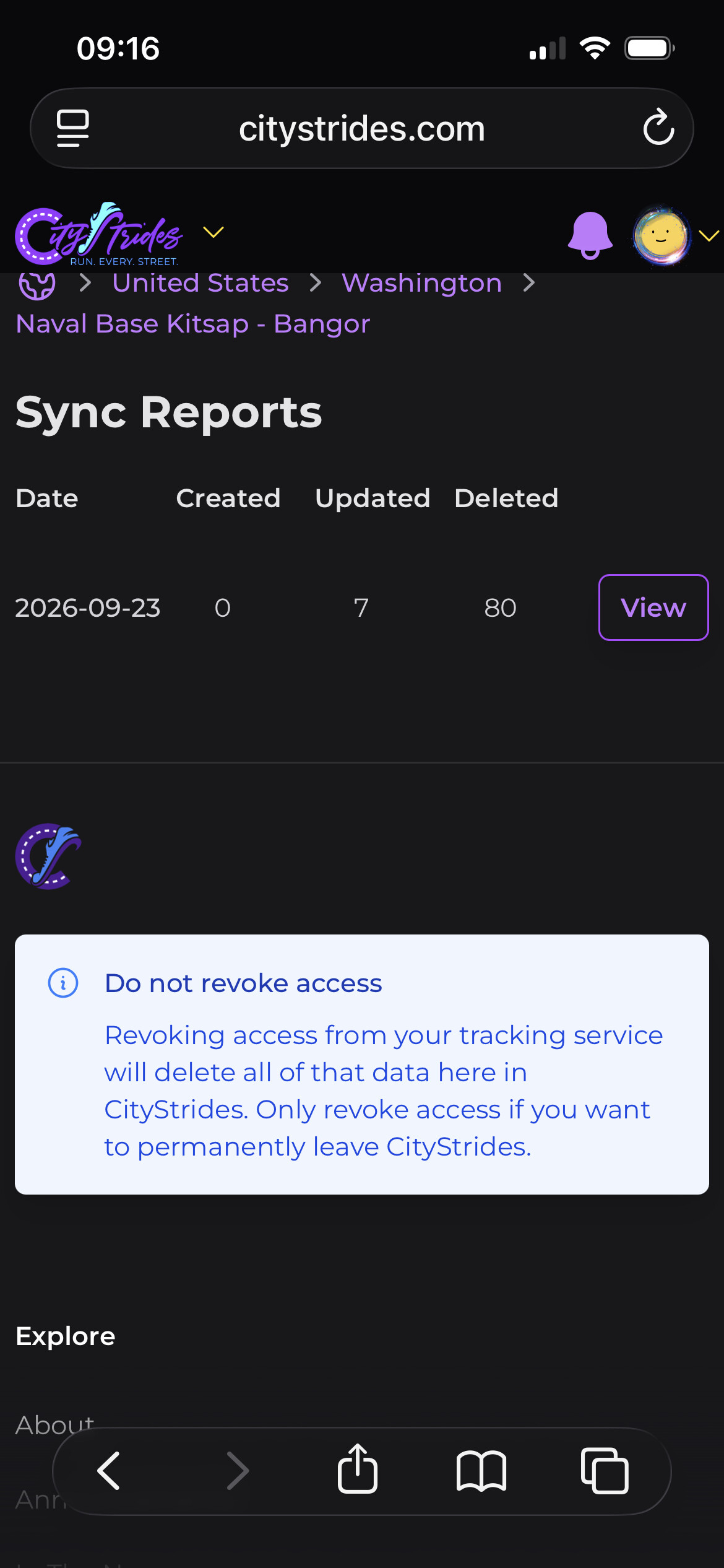
Is that an actual naval base with needed access? If so, likely marked private or permissive use on open street maps due to that. If a regular person can’t just walk in and run those roads (or drive for that matter) it’s probably the accurate descriptor (and why they would be removed)