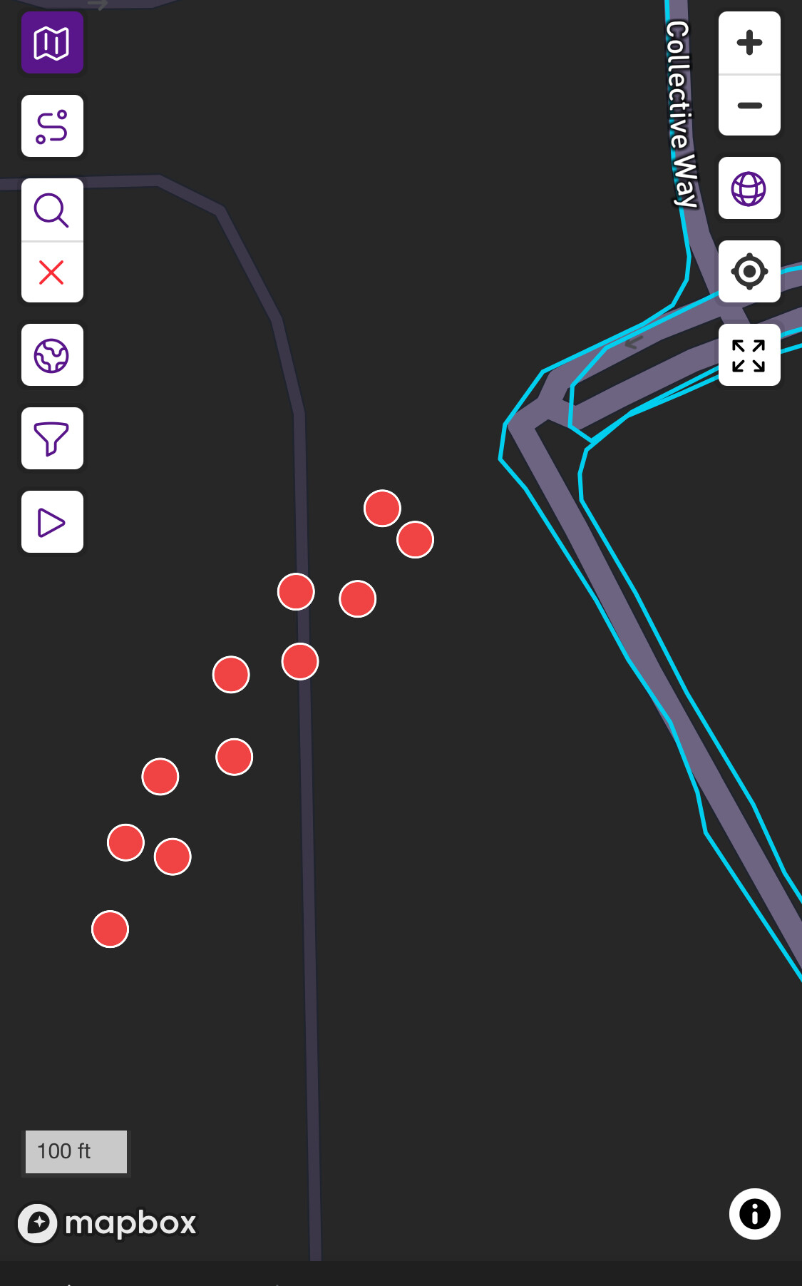
I’m a new subscriber and technology is not my friend. There are nodes in Brookville at the linked (I hope) location that are not accessible. This is an industrial area that has done some rerouting of a road to facilitate construction. There are 11 nodes where the road used to be. I tried to look at OpenMaps, and the road appears to be updated there. I will try to attach photos to this. My apologies for my lack of technical savvy. I suppose I can manually finish the road, but would like to see the map be accurate. I’m not even sure how to post in here from my phone so apologies for whatever mess I’m making of this.
Welcome Ber!
I am not an expert either but I dabble with OpenStreetMap.org and have modified it often. I think that you are just waiting for CityStrides to ingest the new data from OSM.
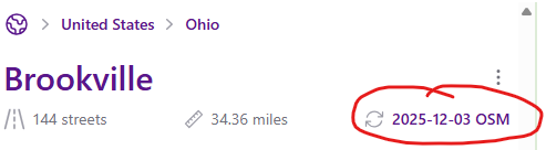
I don’t see those nodes in OSM and when I view that city from CS, the last update was a month ago on 2025-12-03
So the next time that CS updates Brookville they should clear up. That is the good news but unfortunately the system has been slow on these updates so you may be waiting a few months.
Thank you for the reply and the tips. I made a OSM profile and didn’t see the nodes there but didn’t know if that was user error on my part. Thank you for the clarification and for pointing out where the update date is on the map. Tech is definitely not my strong suit, you did a great job of explaining this. I’ll snoop around and see if I can figure out a couple of nodes in Phillipsburg, OH that are fenced in beside the water tower. It seems like everything I run has some sort of issue.