![]() My profile link : https://citystrides.com/users/17576/
My profile link : https://citystrides.com/users/17576/
Hiya,
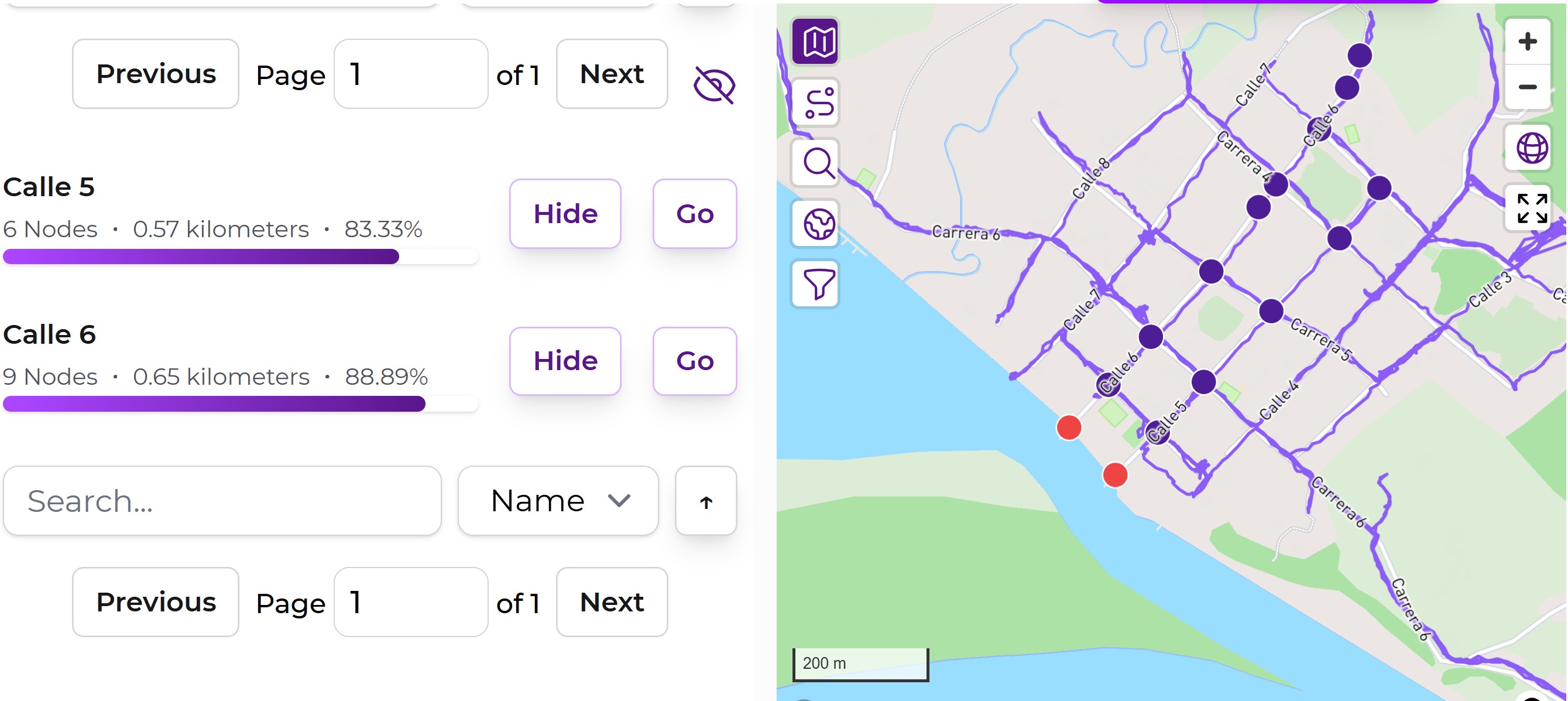
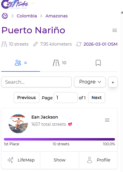
I’m so darned close to getting 100% of the streets in Puerto Narino in the Amazon region of Colombia… but faced with an impossible conundrum. The Amazon River is on top of two nodes!
This is a cool place that I trust some City Stride users will visit at some time, so would like to do what needs to be done to level the playing field.
It’s the end of February, so the river bank is about between high water level and low. It is possible that the nodes are accessible in the dry season without a mask and snorkel. I’ll be long gone in October, however. ![]()
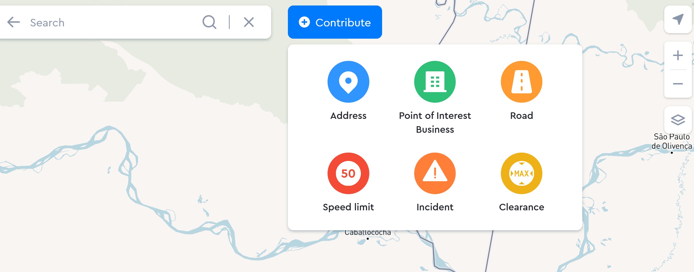
I went to the Open Street Maps link, ‘Improve this map’ and selected “Contribute” ( as in screen shot. )
Kinda lost from this point. ![]() I chose “incident” and described the situation as a permanent closure.
I chose “incident” and described the situation as a permanent closure.
My classification may not be totally accurate, as I can;t say with certainty what the lowest level of the Amazon River at this location is in the dry season.
For the purposes of earning 100% in City Strides, have I reported this correctly?
FYI, for future reference, there are a couple nodes on paths in the jungle that are impassible without gumboots. There are also some lovely paved paths to neighboring villages that I feel should have nodes, but don’t. Not clear on how to help with that?
Thank you in advance for thoughts and advice ![]()