How does progress work?

I’ve been looking throughout the forum, and the site in general but i’m not sure what am i missing. I walked quite a bit of my city, not a huge amount but definitely completed at least some streets ( here’s my public map Vilius Sakalauskas's Map View - CityStrides ) but everything on my profile still shows zeros

At first i thought that i need to literally walk/run on the street itself and not the sidewalk for it to count, but i’ve tried this on some less busy streets but still nothing.

I guess it’s a paid feature (I’m not yet a supporter) but i can’t find any info on confirming the that it’s a case. Do I need to enable something to somewhere in the settings for these numbers to show up?

Thanks for any hints

I’m not 100% on this, but it does not seem that Kaunas, Lithuania is a city in the CityStrides database… At least I do not find it when I look for it here: Cities - CityStrides

Hopefully someone else can confirm.

There might be something in the wiki about adding cities.

Thanks for leading to the right direction, Unfortunately the guide on wiki seems to be too technical for a regual user. I see that my city boundaries are visible on Nominatim Demo but i have no idea what are admin level boundaries and who has to set them where. Can OSM users change a type of city boundary? Does “Citystrides” regularly import new city data or do I need to request citystrides owner to do that manually ?
I’ll try to look into it again sometime, but my first reaction is “i guess no progress data for me” :slight_smile:

edit: ok i’ve checked another view and it seems that there’s administrative boundary set for my city. All that wiki seems to suggest that i ned to set this in OSM. Nothing on how to add that data to citystrides.

If anyone knows - please let me know. Thanks.

So I just replied, but now don’t see it… but I wanted to add this link: How to help with missing/broken cities/regions

In that post is the tracking mechanism to add cities.

Edit: I think because I replied in the notification email, not by coming back to the site to reply.

It looks like I haven’t taken action on the decision from I need help understanding Vilnius, Lithuania in OSM yet.

Lithuania currently exists in CityStrides from OpenStreetMap’s admin level 6, so coverage looks like this:

Kaunas, and many others, exist at admin level 8, that coverage looks like this:

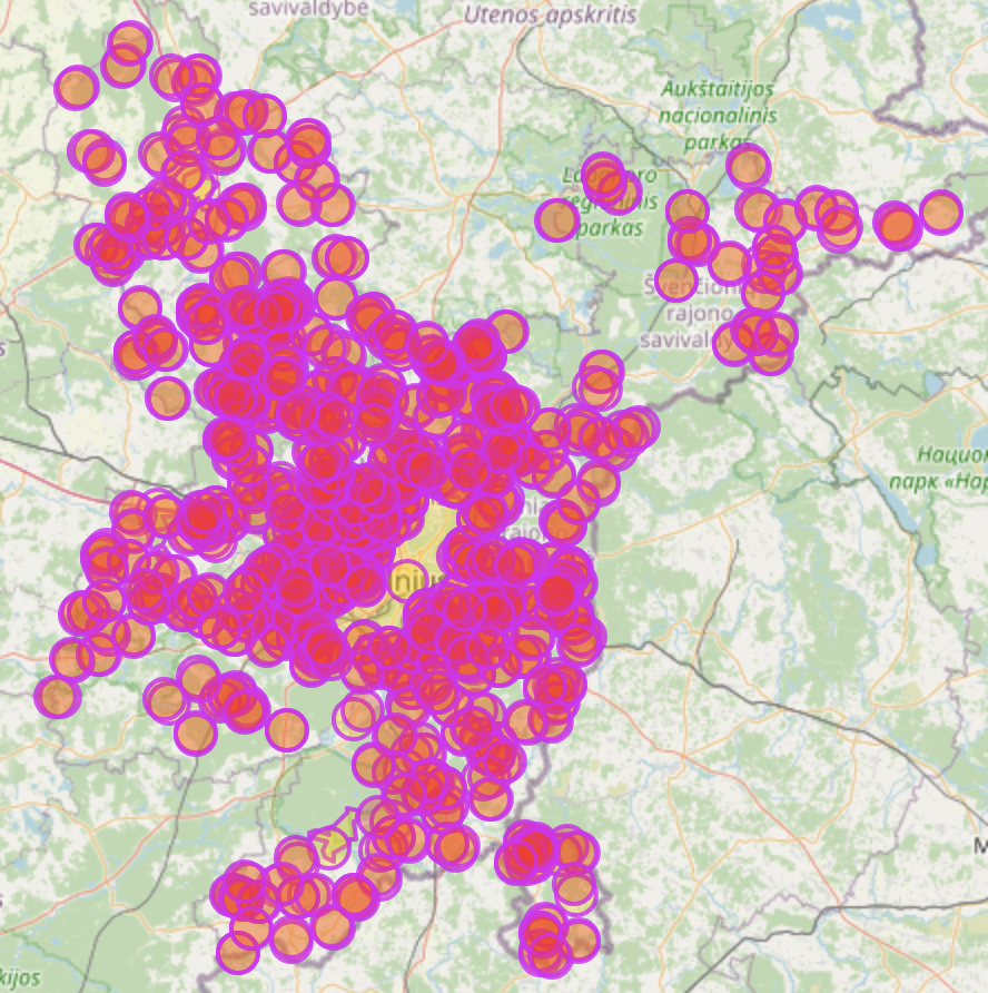
That service displays the circles (city centers) rather large, so it blocks out the actual border - if I zoom it, it shows each border correct & not as circles.

So, it’s clear that admin level 6 provides the most complete coverage … but admin level 8 sounds like it could be either too small or just right, probably on a city-by-city basis.
If you visit https://overpass-turbo.eu/s/18WS … zoom in to some areas … and click within the city borders … it will show a popup that displays the city name & some other info. I’d love to know if those cities are generrally “too small” (meaning that Kaunas is an outlier) or if they look like what you’d expect to see when you think of a “city” (or “town” I suppose, yikes this is hard).

I’m guessing that my action should be different from what I linked in that thread… I’m guessing that I should keep admin level 6 in CityStrides as-is, and then also include admin level 8, and mark those as “nested” wherever relevant (there are whole conversations of nested cities in this forum, if you want to learn about that).

I also updated this in I need help understanding Vilnius, Lithuania in OSM - #7 by JamesChevalier but…

I left the admin level 6 places … added the admin level 8 places & marked them as nested … added the admin level 10 places within Vilnius & marked them as nested