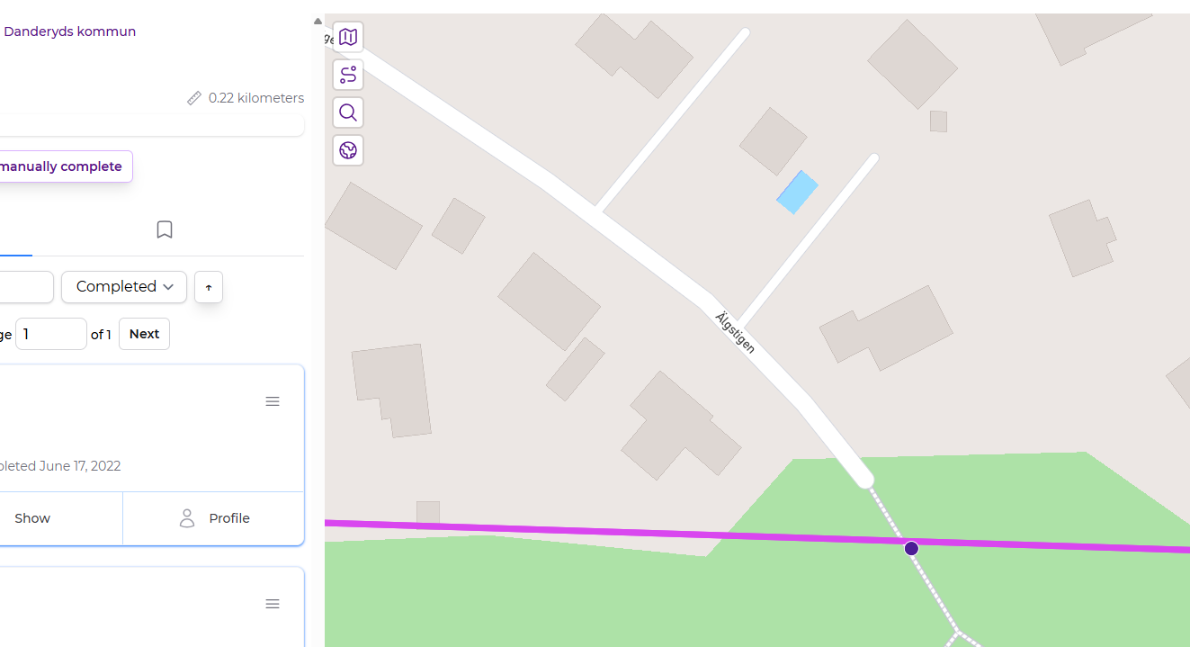
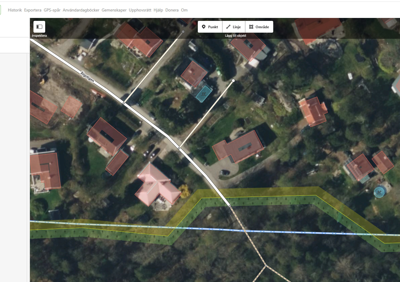
This is a strange thing that’s occurred not to me, but to a friend also using CS: In Danderyds kommun, Stockholms län - CityStrides there is a street Älgstigen - CityStrides which has three nodes in the south part of town. But also on single node just on the north border, that’s actually the street Älgstigen - CityStrides in neighboring city Täby Täby kommun, Stockholms län - CityStrides . This street in Täby previously extended just over the border to Danderyd, but my friend edited OSM to make it stop just before the border (and turn into an unnamed forest path for the last stretch, which seems correct). This was done on April 5, but has not been properly imported to CS in the sync April 18. So I sent a new sync yesterday, and still not correct. The single node is still shown in CS, the map itself in Mapbox is now correct. See OSM OpenStreetMap
I’ve also made some changes in OSM lately that haven’t updated in CityStrides. As I’ve run around various towns, I’ve noticed a bunch of errors in the map, like private driveways that are recorded as residential streets, etc. For the last year or two, I’ve been making these changes in OSM and they’ve all eventually updated in CityStrides. But for the last couple of weeks, that seems to have stopped. I’ve been patiently waiting for some update, but it looks like I’m not the only one having this issue.
What’s the last sync date on the city page? Maybe it hasn’t updated yet.
The data I’m syncing with is also up to a day delayed, since a service is building the source and then I’m updating nightly … there could be some scheduling hurdles
Hi. One city I was talking about is New Haven, CT. On the city page, I see for New Haven: “754 streets, 259.79 miles, 2025-09-22 OSM”. So I assume that means that Sep 22 of last year is the last sync date? Is there anything I can do to make it sync now?
Oh thanks for replying - I couldn’t find the thread again
The code that I had to remove nodes from removed ways wasn’t quite right. This updated version worked out well here, but I turned off the automatic city syncing to wait for any reports of bad syncs just in case…
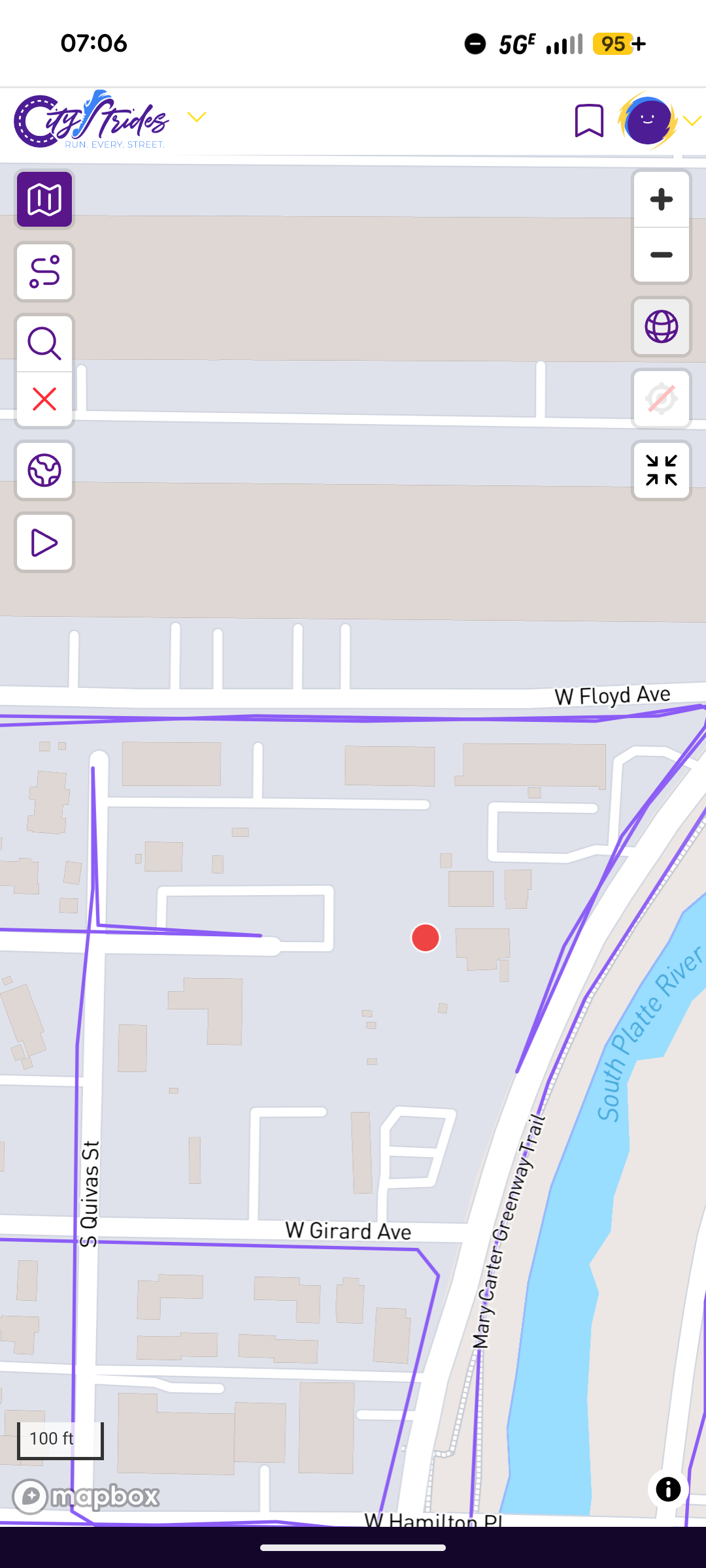
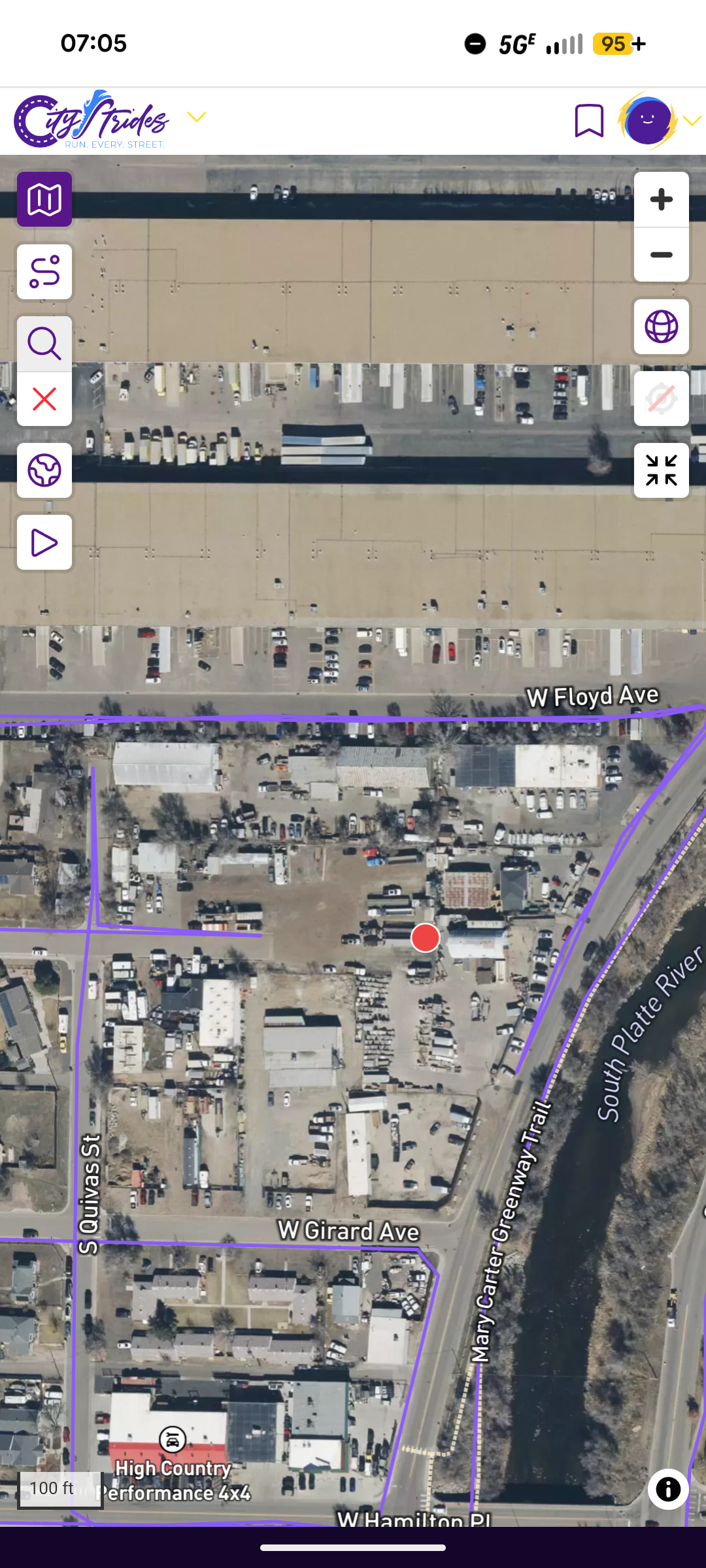
This is Sheridan Colorado and after trying to run here a few weeks ago (and it wasn’t laid out correctly in OSM), I updated the map and it was updated, except the last node remains there.
It was a private property and definitely not part of the road as shown.
James please take a look and advise on when the node will disappear
 yeah, now
  , great, thanks!