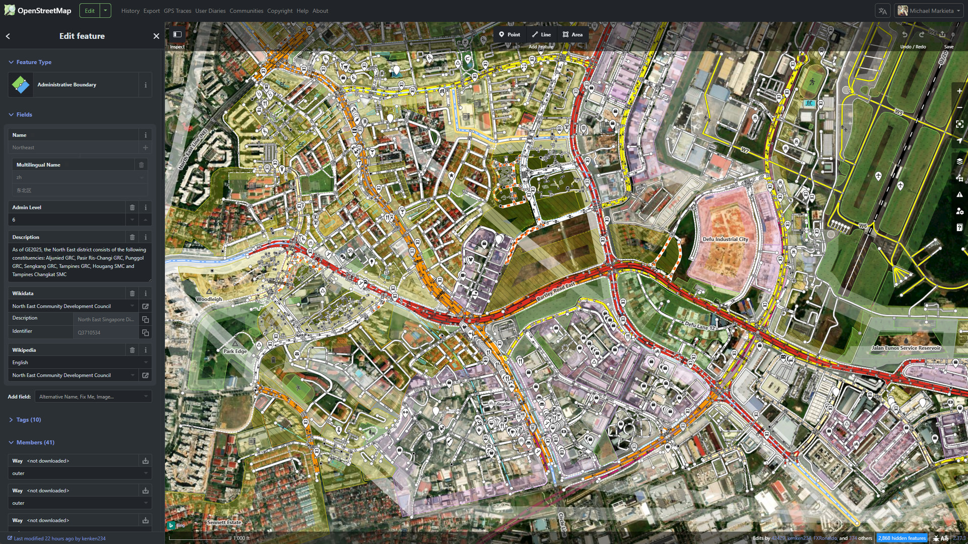
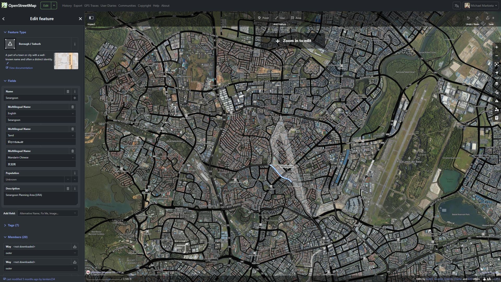
Nobody splits Singapore into 5 territories (northeast, northwest, southwest, southeast, central). The colloquial way to describe where you are in Singapore is based on your Town Council district. Its used for voting, its plastered on government owned buildings, posters, etc. Would it be possible to switch Singapore to Town Council boundaries?
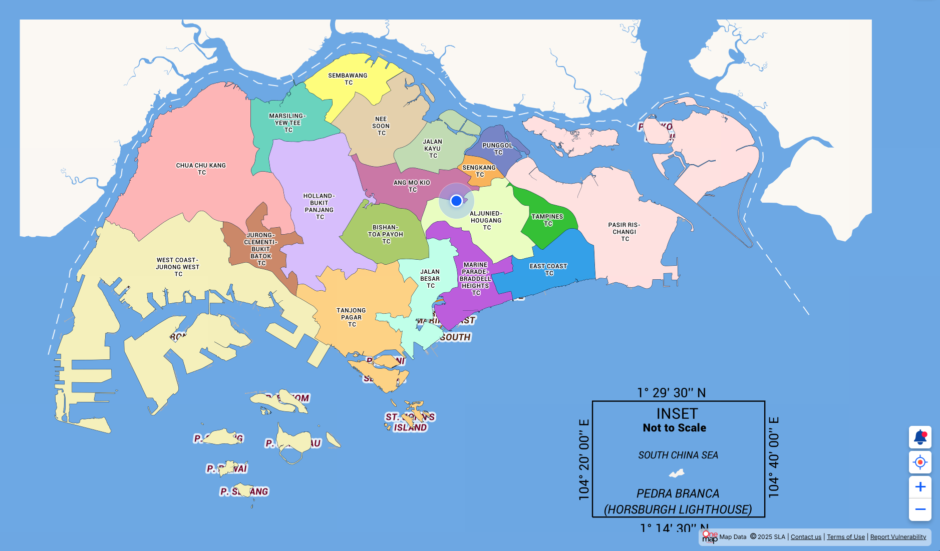
I understand you are using the OSM layer Administrative Boundary (As of GE2025, the North East district consists of the following constituencies: Aljunied GRC, Pasir Ris-Changi GRC, Punggol GRC, Sengkang GRC, Tampines GRC, Hougang SMC and Tampines Changkat SMC). Totally understand the reason for using it for consistencies sake around the world, but its just not a common way to delineate Singapore.