Who else has this Sunday Morning Routine to hit those crazy highway nodes without a sidewalk that otherwise hard to run during the weekdays?
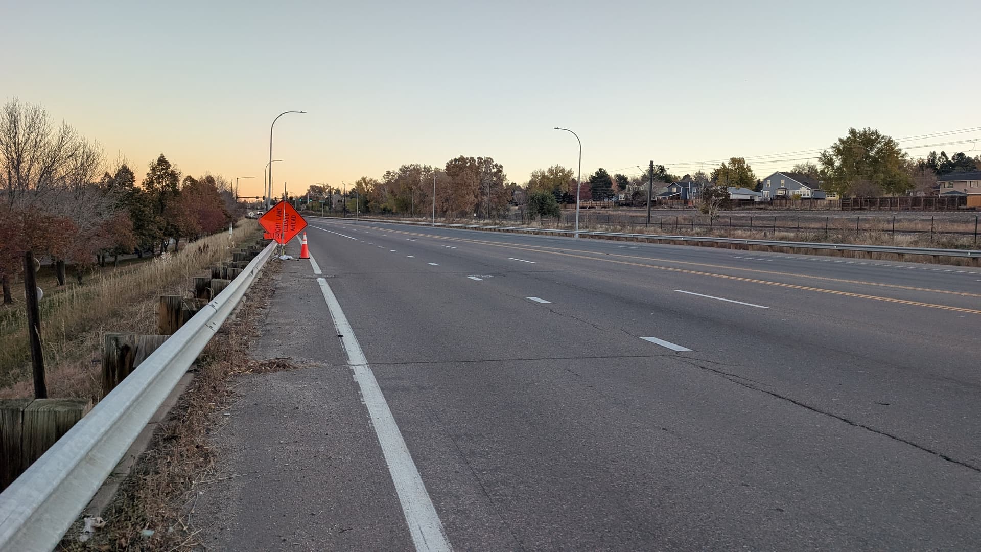
Santa Fe Road in Littleton, Colorado
Who else has this Sunday Morning Routine to hit those crazy highway nodes without a sidewalk that otherwise hard to run during the weekdays?
Santa Fe Road in Littleton, Colorado
Ha, this reminds me there was a technically runnable section of a connector near where a highway offramp and an exit from a major sport stadium converged to feed into a busy road. As I neared completion of my city I was dreading finding the least bad time to run it…but then, a friend was flying in to visit me on a redeye that landed at 5AM so I offered to meet her at the airport. I cheerily got out there before dawn and ran it in the dark, when it was thankfully, peacefully vacant, and then jogged the rest of the way to the airport.
That does not look like a place where pedestrians are expected/allowed to be. That looks like OpenStreetMap needs to be edited somehow to remove it from CityStrides. Nothing about that looks to be in the spirit of CityStrides at all.
Don’t forget that you’re responsible for your personal safety.
I updated the OSM a while ago to pedestrian=no but the nodes have remained stayed in our map, sadly.
OK, that’s actually good news … I’m currently working on improving city syncs. It’s going to take a little while to catch up (the old system was ~3 months behind), but it will and that will be removed from CityStrides.
To answer your original question which was who else uses Sunday mornings to tackle tricky areas? That is a ‘yes’ for me.
For example, I’ve held off doing rotaries (roundabouts are so popular in the Boston area) and other places where having a lower volume of traffic facilitates trekking.
James, I’d say be careful with this change. You’re gonna wipe out half of Calgary if we try to put pedestrian=no on every street without a safe shoulder. I’m also confused why that’s not walkable? There’s a shoulder there. Seems fine to walk. Even highways like the Trans-Canada are usually pedestrian permitted.
@supermitch Agreed! That’s an amazing amount of shoulder compared to some of the State highways I’ve had to complete to get to many of the streets around here.
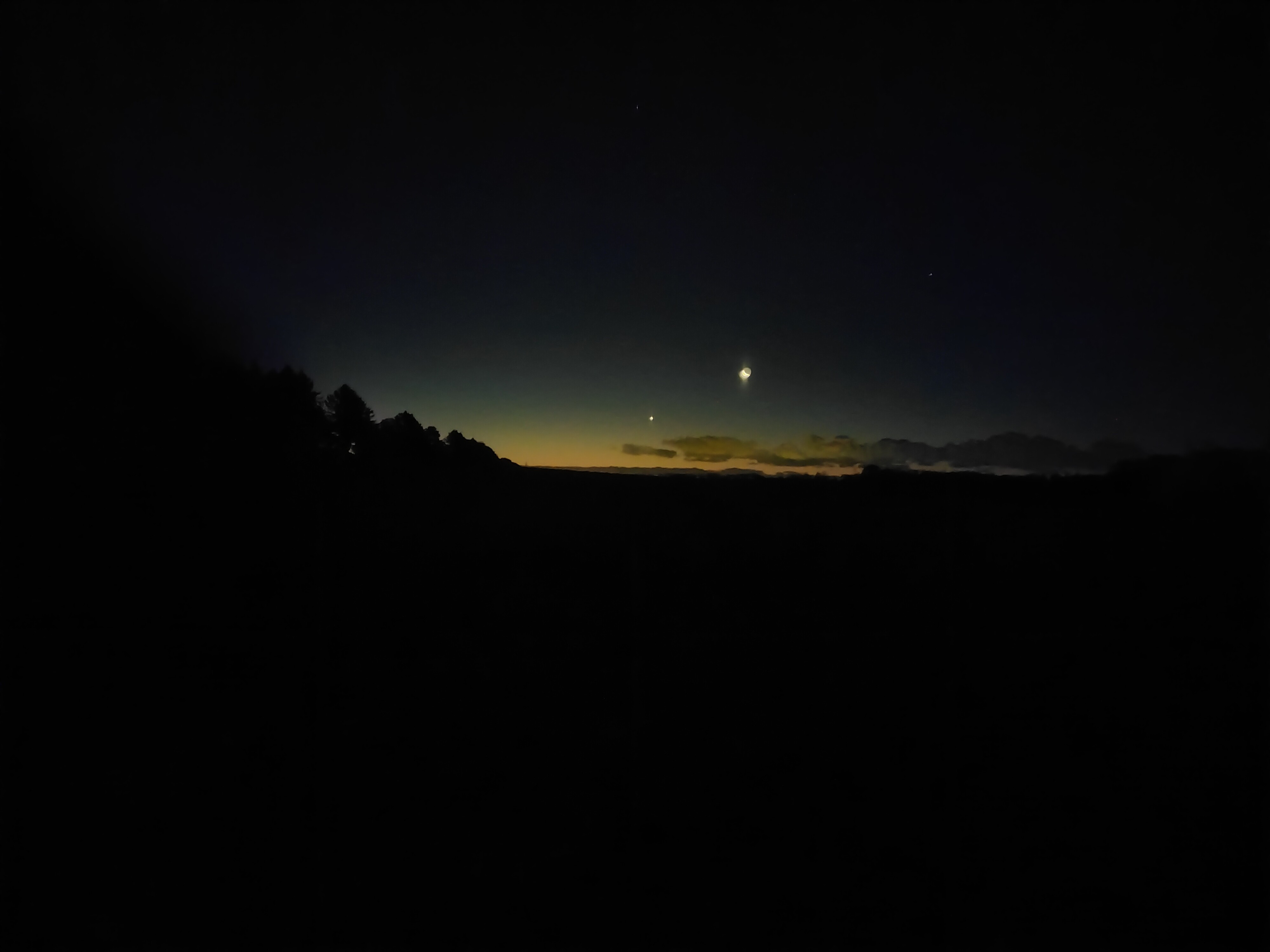
I’m usually out running at 4.30 in the morning on Sundays. I’m a hardcore introvert, so i like the quiet and i can run some of the hard to get streets. I’ll sometimes run streets like that, even if they don’t have nodes, just to fill in the map.
Here’s a photo from a recent run ![]()
Also, are you sure that’s a correct use of pedestrian=no? Because you’ll completely break routing. I also think that “no” means access is not allowed, versus not recommended? Just asking. Pedestrian - OpenStreetMap Wiki