I’m loving the website, tracking and maps and aiming to complete my local city ‘Chiltern’. (Also love seeing the cities and country’s run in around the globe).
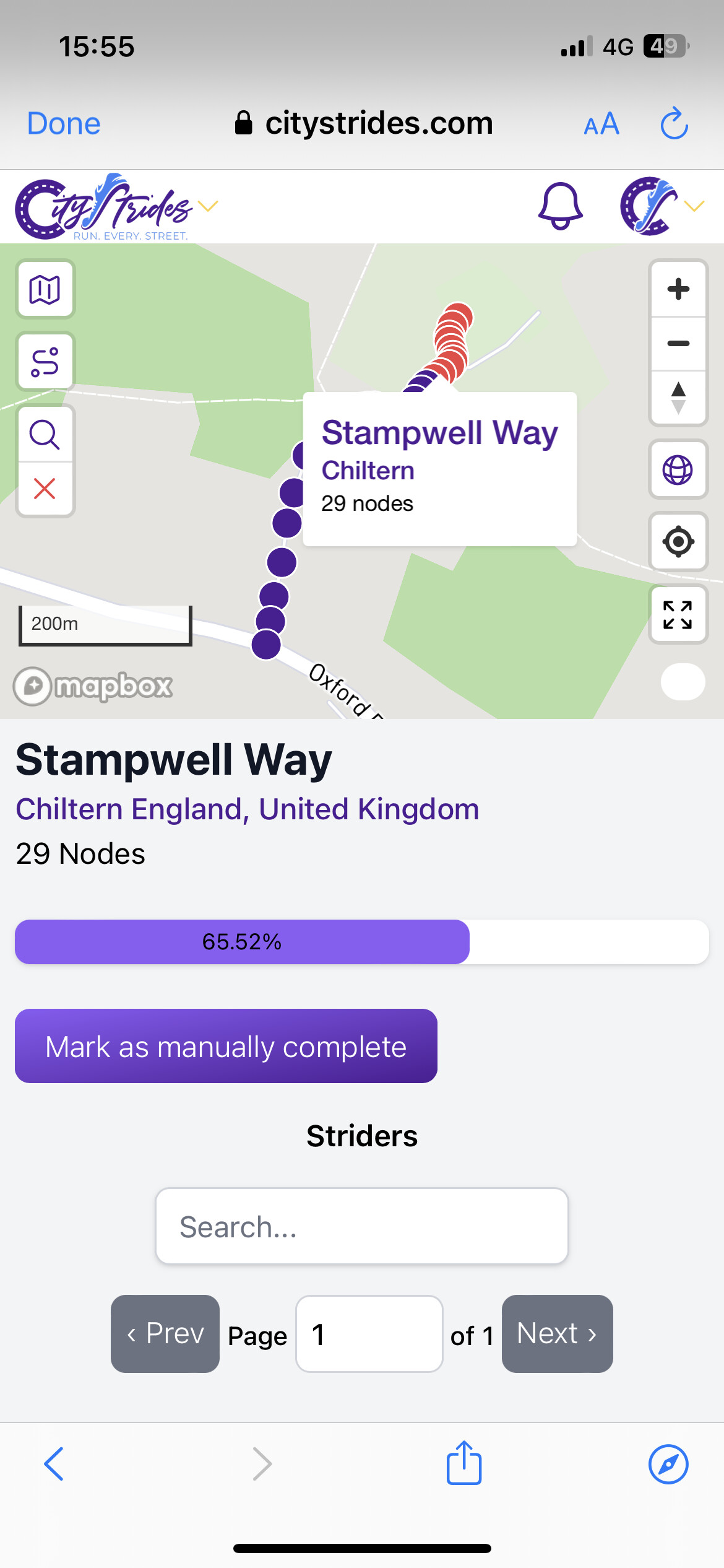
I was ticking of roads near me and ‘Stampwell Way’ turns to a private drive on a farm. Is there a way to remove the nodes on private roads so it’s possible to hit 100%??
The information in CityStrides is derived from OpenStreetMap. The street would need to be updated there then the next time your city has OSM updates imported into CityStrides it’ll be reflected.
Cities usually get updated about once every eight weeks.
Here is a link to a post about OSM basics: OSM Basics
Someone on here is probably willing to make the change for you if you don’t want to create an account on OSM.
I’m looking at Google Maps and it appears the whole road is private. It’s also listed as a service road but looks more like a driveway to me.