It would be nice to have a distance scale displayed on the map. It is hard to get a sense of scale in unfamiliar areas, so this would make planning (realistic) routes a bit easier.
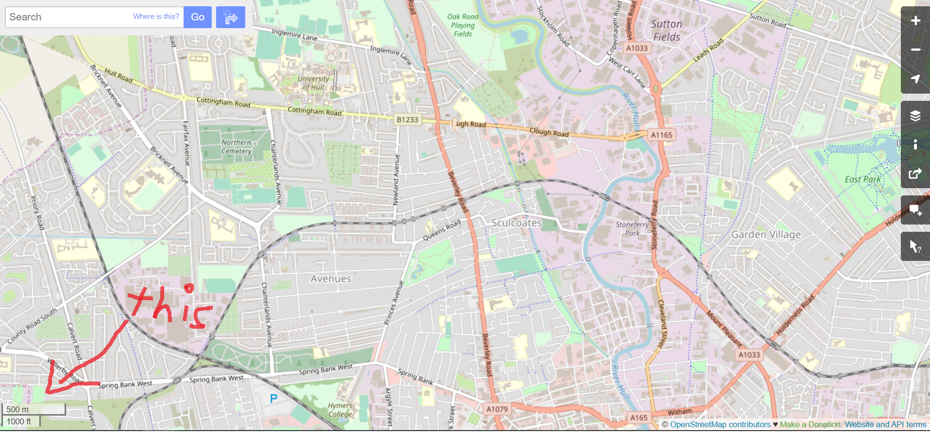
Also would provide context when looking at Lifemap’s. Because of the variation of the density of streets in different areas, it’s tough to get an impression of the length of a route without the scale present.
 This is done and will be in the next release. Turns out, it was built into Mapbox GL JS. It’s nice, too - it dynamically updates as you zoom in and out.
1 Like
Oh wow, awesome to hear!