Hi, i just heard about Citystrides today, an article about a man that has walked all streets in his city. I have also done this over the past few years, but i have been using an app called “Norgeskart outdoors”. I briefly used a garmin watch, but it gave me skin trouble, so i had to return it. Anyways, the garmin account i made when i had that clock is the only way i could make an account here it seems.
So, anyways. I have about 550 recordings in GPX format i believe. Over 4000KM in total, all over my city. Is there any way i can import those into Citystrides?
At the moment, you’ll have to upload those GPX files into Garmin (or Strava/Runkeeper/MapMyFitness, depending on each service’s capabilities). When each GPX file is created, the service will alert CityStrides of the newly saved activity.
If you decide to use e.g. Strava instead of Garmin, you can connect that account to your existing CityStrides account from the Integrations section of your Settings page. This way, you can have one CityStrides account that contains your full history of activities.
It’s on my to-do list to add direct GPX file uploads to CityStrides ( Manual Upload ), but it’s not close enough to being done for you to wait for that feature.
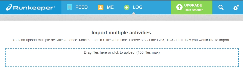
Quick note about Runkeeper - they do not send notifications of new activities like all the other services do. Instead, I have to poll them for each person daily. So as you upload to Runkeeper, you will not see activities arrive in CityStrides immediately. You will have to wait for the daily sync (there is no set time for this) or use the “Sync Now” Supporter feature.
Thank you. I might go with Strava actually. I’m sitting here fiddling with this now. And as i expected, the nightmare is not uploading, it’s converting the files from the old app.
And i can’t use the online option to convert, then something goes wrong and neither runkeeper or strava recognizes the gpx files, they claim they are empty. But if i export on my phone, then they recognize them, so i will have to do that.
And i have to export each and every one individually, i have the option to export all my files into one single gpx, but that becomes 161MB big and neither strava nor runkeeper accepts that.
And only the online option (which has issues exporting) can i select multiple trips. The phone only support all or 1… This is gonna be a nightmare, going to take so many hours. I’m trying to figure out why the online version exports files the other sites doesn’t recognize, yet the same app on phone does it just fine. Both export to GPX.
Well i guess i will just have to do one by one. I’ll just watch some movies and listen to some music while I’m on it i guess. If not anyone here has some bright ideas on what i might try instead.
The online part of the app can export to these formats:
SHP
GML
KML
GPX
GeoJSON
XLSX
CSV
HTML
TXT
PDF
A) Compare two GPX files for the same activity - one from your phone, and one from the online option - to see what the difference is. If it’s something simple, you might be able to export multiple bad GPX files from the online option, run a quick script to fix them, and upload the fixed files to Strava.
B) Export the one massive GPX file and see if it’s easy to split it up into separate files (either manually or through a script)
C) Export a different format e.g. GeoJSON & convert those files to GPX with a tool/code & upload the converted files
You could do a quick test with one of the activities that previously gave bad GPX and use GeoJSON to GPX
From there, it heavily depends on what operating system you’re using and how comfortable you are with scripting. If you’re on Mac/Linux & comfortable with some minor code, you could use GitHub - tyrasd/togpx: convert geojson to gpx and write a short script that iterates all the files in a folder.
for file in /path/to/your/geojson/files/*.geojson; do
  if [ -f "$file" ]; then
    togpx $file > /path/to/a/new/folder/on/your/desktop/${file%.*}.gpx
  fi
done