Here’s a copy/paste of the responses, for those that aren’t in the Slack group:
ian:
Use your best judgment between imagery, GPS traces, and common sense. All of these measurements have some error, so it’s going to be wrong – just make it as good as you can.
phidauex:
Hi, welcome! Citystrides looks like fun, I wasn’t aware of it but now maybe I’ll give it a try.
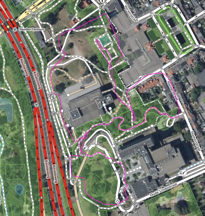
I’d say there are a few things to consider when adjusting the alignment of a road or adding a new road or path. In order of importance to the map:
That the different ways connect to the right start and end points, and have the right branches. If this is true, then the geometry can be pretty far off and things will ultimately still work out.
That the overall length and tagging (description) of the ways is accurate.
That the way nodes follow the physical landscape as closely as possible.
When working on #3, generally the imagery should “win” - you make sure the imagery is aligned, but adjusting it to match the other major roads in the area. In most parts of the US, the “Bing” imagery is the “primary” imagery on which others are aligned, but that may not be true. Assume for the moment that your local mappers have worked out a good alignment for major roads, and adjust the imagery you are using to match that.
In the case that your user notes where the imagery doesn’t show the path well (hidden by trees), then GPS is a good solution - the traces they show seem generally pretty good, and probably about as good as you will get from any commercial GPS.
There are a few main sources of distortion in GPS traces - the most common is just an offset, which is usually caused by a poor fix, or temporary multipath distortion in an area. In the user’s example, the two “offset” tracks were probably just on a bad day - you can see the offset is consistent through the whole area. If you get 2 or 3 tracks that are well overlaid on separate days, that is pretty darn good for “truth”.
Ideally you’d take one of the GPX files from a day that agreed with the other days (or agrees with other objects in the area that are already mapped), and upload it to OSM using the Traces feature (you can also load a GPX file directly into the iD editor using the “Map Data->Custom Map Data” feature). Use that to trace your own path, just using your eyes and brain to “average” the jitter out. There are some analytical ways to smooth the path, but usually just drawing a nice smooth path where your memories and brain are telling you it should land will do the trick.
Rarely should you actually import the GPX file directly - you’ll either have a path that is far too jittery to use, or you’ll spend more time cleaning it up than you would have spent just tracing a clean path over the line.
In the case of Old Mooar Hill Rd, the road track does seem to be bumped a bit to the east compared to the GPS traces in the area (and looking at Strava heatmap). If the user feels good about their trace, and in particular if they get a second trace that is similarly aligned, then it is totally appropriate to adjust the road position.
One last tip is to always check other imagery, some imagery companies make a special effort to collect “leaf off” imagery in the winter or spring, which makes paths easier to see. In this case, Esri Clarity, while fairly old imagery, actually shows the road pretty well since it is a leaf-off pass. That should help correct the road alignment.
Sorry for the manuscript, hope it helps!
wwhide:
You could always check again the Strava heat map which likely has more gps data. You can add a custom base map in iD using this WMS address https://anygis.ru/api/v1/Tracks_Strava_All/{x}/{y}/{z}
Got that from this page strava_auto_auth/README.md at master · nnngrach/strava_auto_auth · GitHub