City creations in OpenStreetMap are well outside of my capabilities. It’s possible that someone else in the forum can help, though, so I’ve moved this post out into its own thread.
The correct source for boundary data in the US is the latest annual TIGER/Census Bureau shapefiles. I just did a bunch of cleanup in North Carolina, but there’s quite a mess of old boundaries there left to clean up. Moyock, NC is: Relation: Moyock (14922639) | OpenStreetMap
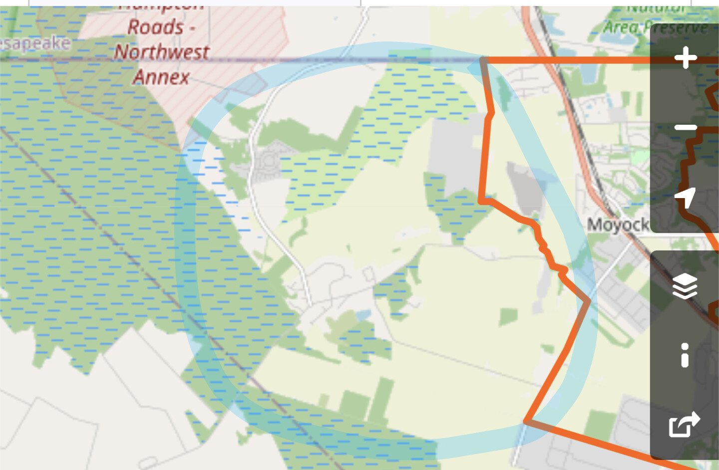
Thanks so much for looking into this. There’s a section of Moyock that’s missing. The hwy to the left of the boundary you have is also included. I live off of it, so I recognized it was missing.
The county has an interactive map and it took me forever to find the boundaries.
I was not able to find the boundary screen-shotted above. Can you give steps?
It appears that the location circled above is outside of the Census Bureau’s boundary of the Moyock CDP? Note that CDPs are separate from postal addresses.
So that was the boundary line that was proposed to get added to moyock officially. but it didn’t go through. So we are part of “moyock township” instead.
Are we able to add a township of moyock somehow so it includes everything? Otherwise there are areas that don’t roll up to anything on the citystrides map.
It would be far better to do a systematic update of North Carolina municipal boundaries, and not a one-off addition of a single township. To do that, we’d need a legally-compatible source of the geometry data so they can be added. Boundaries aren’t something normally drawn by hand.
A better place to discuss how to fix NC’s boundaries (since I assume it’s a statewide problem in OpenStreetMap) would be the OpenStreetMap US Slack server, https://slack.openstreetmap.us, at the channel #local-north-carolina where the work can be coordinated with local mappers there that are more familiar with the available data sources and legal situation.