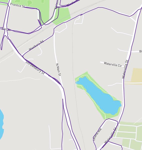
I apologize if this has been addressed, but I had a question about the node color for complete vs. incomplete roads. If memory serves incomplete used to show as red and complete was another color (purple perhaps). Either way, it was easy to tell by looking at the map what section of a particular road was complete and what still needed to be covered. Now the colors are all blue. You’ll see in the attached pics that there is one section of a road (N. Main St.) that is white/not complete and when I add nodes to the view it shows everything as blue. It makes mapping missing sections a bit more confusing.
Is this just me?
Thanks in advance!