
The remaining node on this street doesn’t appear to exist, or it sits on someone’s private property. I’ve visited a couple of times but see now way of reaching it. It doesn’t appear as a street on Google Maps.
Hi, on the sattelite in change mode in Openstreetmaps i only see trees. Can you tell if there is any road,streetor path in real life, when you pass it via Delbrook av.? If not, I/you/anyone can delete that erro in openstreetmaps and soon James will import these changes into citystrides.
In the meantime you could manually complete the street since the part thats runnable is completed, and you can’t run what’s not there. 
edit:
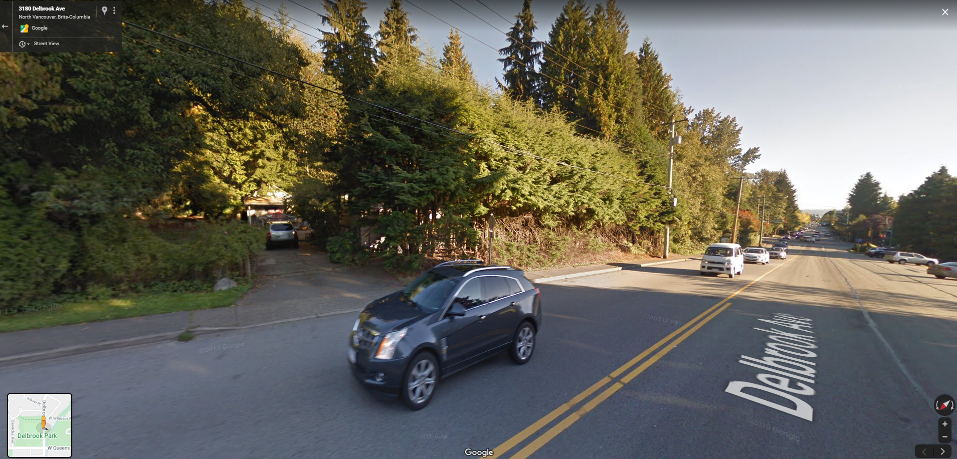
i used street view in google maps and i see a private entryway of a house or something similar. So this line is an existing road, but apparantly private. So the only thing needed is make it a driveway and access: private.
in Openstreetmaps:
A: change to ‘service road’. And make the service road type ‘driveway’.
B: delete the street name, since it surely is not correct
C: make access = ‘private’.
That should do the trick

4 Likes
This is all new to me - but it’s completed now with your instructions. Thank you!
2 Likes
Appreciate the instructions and I’ve made an update to a townhome complex that is clearly private property (as it is gated and only accesible to those who live there) in my area. It was being listed as part of a street.
Any idea how long it takes for the updates to show in CityStrides? I’m guessing it will take some time for the map to be updated?
1 Like